


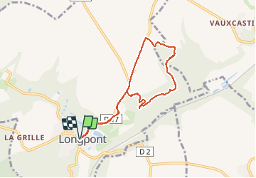


17.5 km | 21 km-effort


forêts de France


FREE GPS app for hiking
 SityTrail
IGN / Geographical institutes
SityTrail World
The world is yours!
Trail Walking of 7.3 km to be discovered at Hauts-de-France, Aisne, Longpont. This trail is proposed by en forêt de Retz.
voir aussi:
http://foret-de-retz.over-blog.com/
06/ 2016
au départ de l'abbaye de Longpont, suivre la D17 puis longer "les Granges", remonter vers la D17 et prendre à droite le chemin vers le bois des Prêtres. Rentrer dans le bois des Prêtres (très difficile) puis chercher un chemin (très difficile et pas forcément sur les cartes IGN) qui conduit vers le bois du Mausolée. Chercher un sentier en remontant vers le Mausolée. Sortir du bois du Mausolée en remontant vers un champ puis suivre le chemin longeant le champ jusqu'à la D805. Rejoindre Longpont.


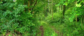
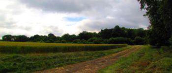
28 photos in total. Please click on a photo to see them all in the gallery.

Walking

Walking

Walking

On foot

On foot

Walking

Walking

Walking

Walking