


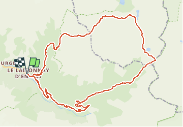

24 km | 44 km-effort


User


FREE GPS app for hiking
 SityTrail
IGN / Geographical institutes
SityTrail World
The world is yours!
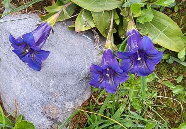
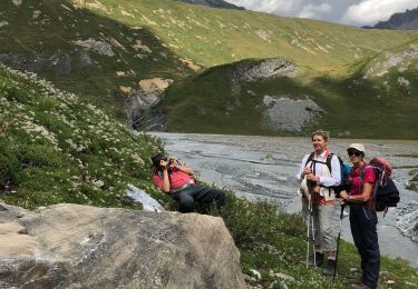
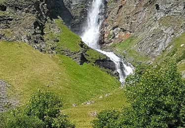
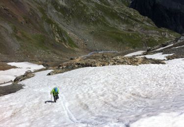
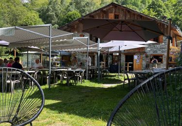
Trail Walking of 26 km to be discovered at Auvergne-Rhône-Alpes, Savoy, Champagny-en-Vanoise. This trail is proposed by tbrunet.
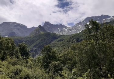
Montée par la cascade du Py et le Col du Plan Sery.
Retour par le col du Palet
La difficulté est dans la longeur
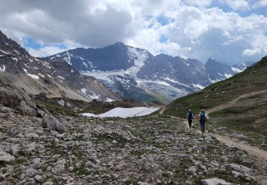
Walking
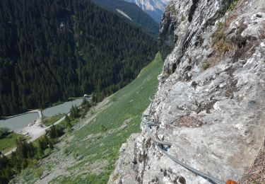
Via ferrata
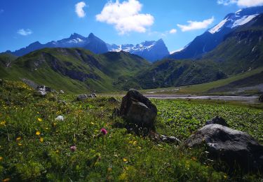
Walking
Walking
Walking
Walking
Walking
Walking
Walking