


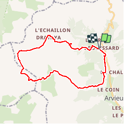

11.7 km | 19.7 km-effort


User


FREE GPS app for hiking
 SityTrail
IGN / Geographical institutes
SityTrail World
The world is yours!
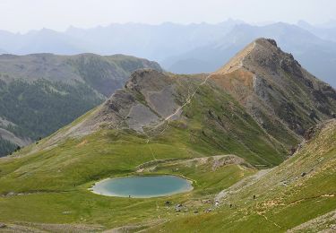
Trail Walking of 17.2 km to be discovered at Provence-Alpes-Côte d'Azur, Hautes-Alpes, Arvieux. This trail is proposed by dfluzin.
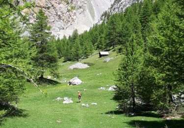
Pour voir des images http://partage-de-lumieres.fr/topos-randonnee/queyras-2016/chalets-de-clapeyto-lac-neal/

Walking
Via ferrata
Walking

Other activity
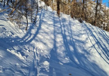
Snowshoes
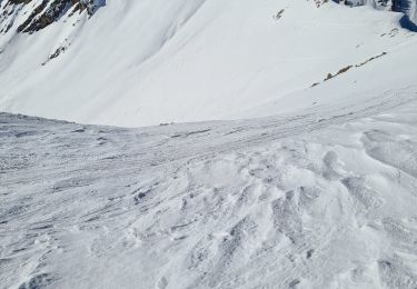
Touring skiing
Touring skiing
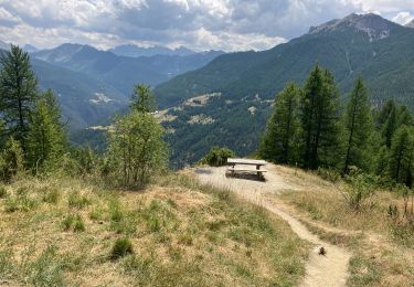
Walking
Walking