


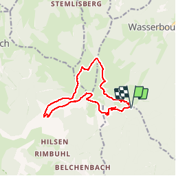


18.1 km | 24 km-effort

User


FREE GPS app for hiking
 SityTrail
IGN / Geographical institutes
SityTrail World
The world is yours!
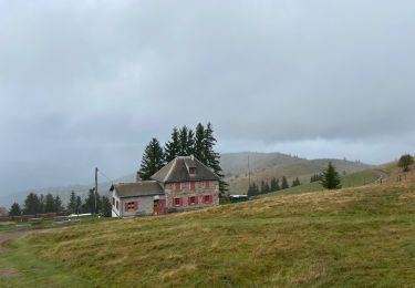
Trail Walking of 12.7 km to be discovered at Grand Est, Haut-Rhin, Lautenbach. This trail is proposed by VacheKiri67.
Faite le 14/08/2016 avec notre fils de 11 ans. D'après : Guide Frank Vosges - N°10 Tour du Petit Ballon. La durée indiquée pour le circuit est de 4h.


22 photos in total. Please click on a photo to see them all in the gallery.

Walking

Walking
Walking

Walking

On foot
Walking
Walking
Walking
Walking
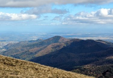
Un sommet incontournable avec une vue panoramique magnifique. Plusieurs auberges sur le parcours vous permettront de déguster une bonne tarte aux myrtilles.