


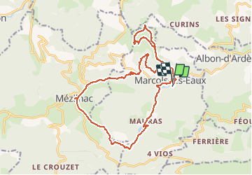

18.2 km | 29 km-effort


User


FREE GPS app for hiking
 SityTrail
IGN / Geographical institutes
SityTrail World
The world is yours!
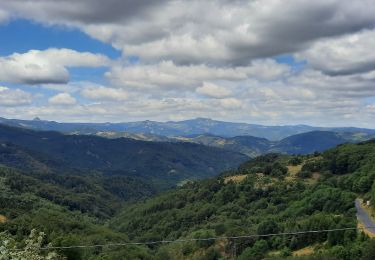
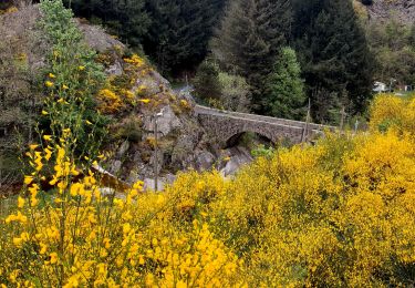
Trail Walking of 21 km to be discovered at Auvergne-Rhône-Alpes, Ardèche, Marcols-les-Eaux. This trail is proposed by manumax.
Randonnée de villageSt Marcol les eaux
Walking
Walking
Cycle
Walking

Walking

Walking
Walking
Walking
Walking