


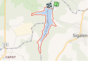


8.2 km | 11.1 km-effort

User


FREE GPS app for hiking
 SityTrail
IGN / Geographical institutes
SityTrail World
The world is yours!
Trail Walking of 4.2 km to be discovered at New Aquitaine, Gironde, Sigalens. This trail is proposed by sandrineh.
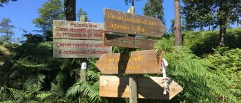
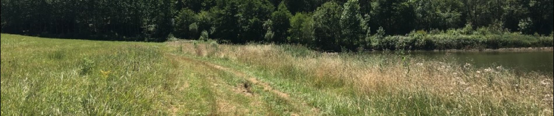
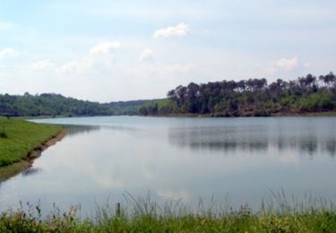
Promenade facile mais il vaut mieux prévoir un ou deux passages boueux après la pluie.


On foot
Mountain bike

Mountain bike

Walking

Walking