


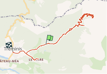

13.3 km | 27 km-effort

User


FREE GPS app for hiking
 SityTrail
IGN / Geographical institutes
SityTrail World
The world is yours!
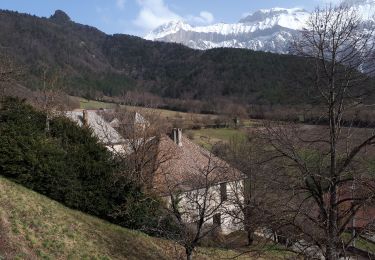
Trail Walking of 16.2 km to be discovered at Auvergne-Rhône-Alpes, Isère, Tréminis. This trail is proposed by RD78-38.
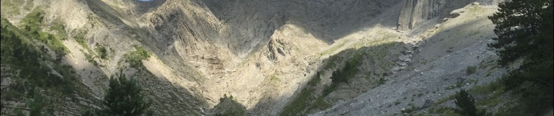
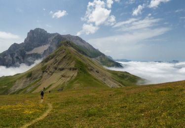
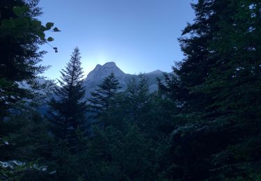
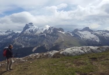
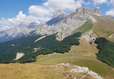
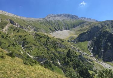
Longs passages aériens qui deviennent très étroits à mesure que l'on monte. Belles vues sur les massifs du TRIEVES. Ne pas emmener d'enfants ainsi que des personnes sujettes au vertige ( Grands a pics ) . Nombreux passages pierreux. Néanmoins vue exceptionnelle depuis la crête.


Walking
Walking

Walking
Walking
Electric bike
Walking
Walking
Walking
Walking