


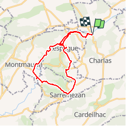


16.7 km | 21 km-effort

User


FREE GPS app for hiking
 SityTrail
IGN / Geographical institutes
SityTrail World
The world is yours!
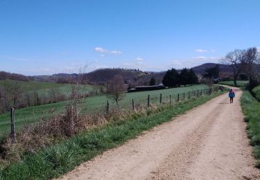
Trail Walking of 16.7 km to be discovered at Occitania, Haute-Garonne, Charlas. This trail is proposed by pidjam.
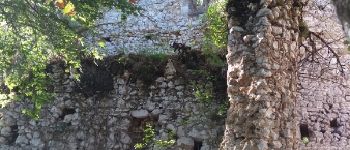
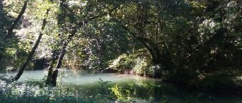
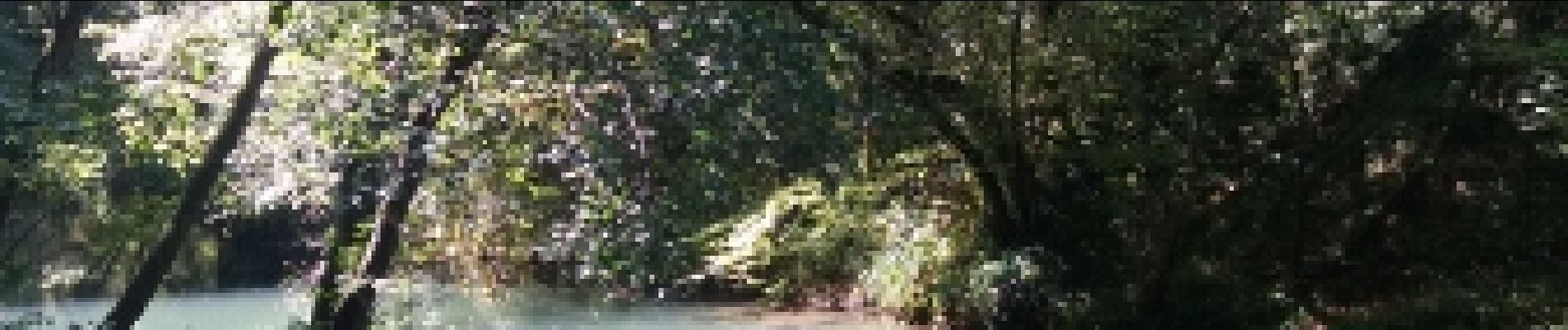
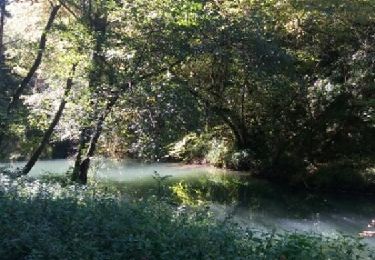
Belle promenade dans la campagne qui s'achève sur les gorges de la Save (à l'ombre et au frais). La route des gorges est fermée à la circulation; elle est bordée de nombreux abris sous roches préhistoriques.
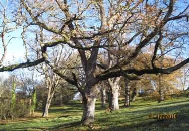
(pique nique possible à La Coume près de Montmaurin)


Walking
Walking
Walking

Walking
Walking
Walking
Walking
Walking
Walking