Trail Walking Longpont - en forêt de Retz_49_Longpont_ étangs de Javage_AR - Photo

en forêt de Retz_49_Longpont_ étangs de Javage_AR

forêts de France

© OpenStreetMap contributors
Length
Length
18.2 km
Max alt
Max alt
198 m
Uphill gradient
Uphill gradient
363 m
Km-Effort
Km-Effort  
23 km
Min alt
Min alt
74 m
Downhill gradient
Downhill gradient
363 m
Boucle
Boucle
Yes
Creation date :
2017-03-06 00:00:00.0
Updated on :
2020-11-08 12:02:34.859

(0 Reviews)

Walking
Walking
5h13
Difficulty : Medium

Scan this QR Code to open this trail in the SityTrail application

FREE GPS app for hiking

Logo SityTrail SityTrail

IGN / Geographical institutes

Download SityTrail from the App Store Download SityTrail from Google Play

Logo SityTrail SityTrail World

The world is yours!

Download SityTrail from the App Store Download SityTrail from Google Play Download SityTrail on Huawei AppGallery

About

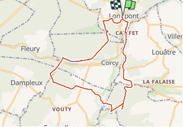
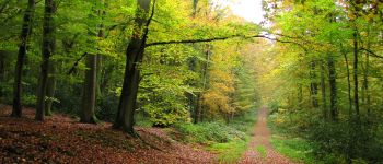
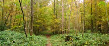
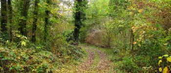
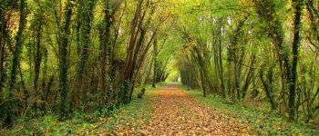
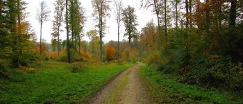
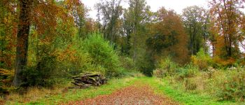
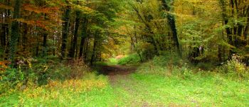
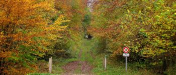
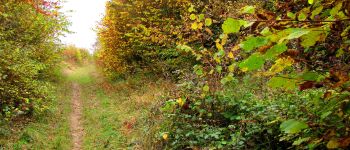
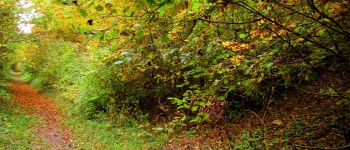
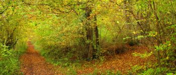
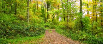
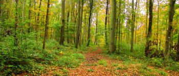
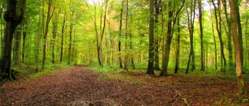
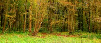
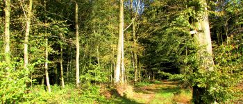
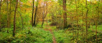
Trail Walking of 18.2 km to be discovered at Hauts-de-France, Aisne, Longpont. This trail is proposed by en forêt de Retz.

Description

voir aussi:
http://foret-de-retz.over-blog.com/

10/2016

batterie de rechange pour iphone indispensable.
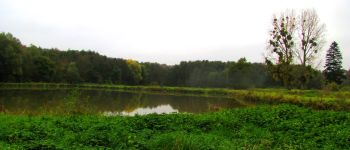
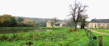
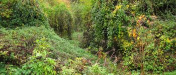
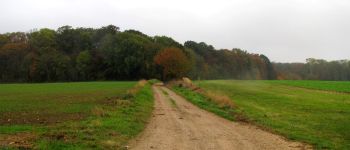
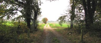
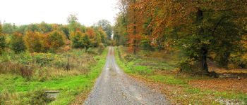
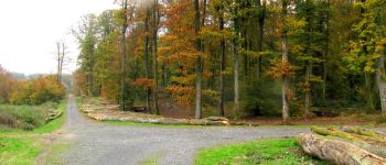
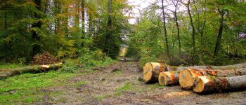
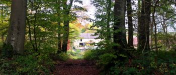
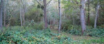
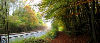
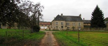
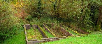
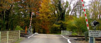
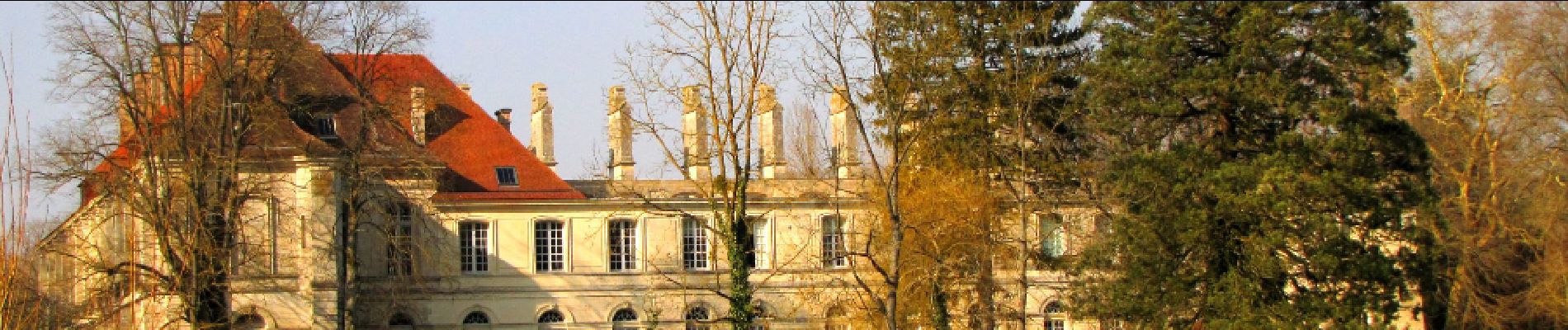
Au départ de l'Abbaye de Longpont, récupérer la D2 vers Corcy, tourner à droite avant la voie ferrée. La longer et passer sous le pont SNCF au lieu-dit "Catifet" puis suivre à droite le GR11A jusqu'au carrefour de Javage (attention, certaines laies sont effacer par les ronces dans ce coin). Prendre à droite la laie du Lièvre et récupérer à droite le chemin de Javage (ravin accidenté et encombré de ronces et d'arbres déracinés y compris après les étangs de Javage). Après avoir traverser les étangs de Javage, continuer ce chemin pour rentrer en forêt de Retz. Prendre à gauche la laie des Vignes jusqu'au carrefour avec la route vers Vouty. Suivre à droite jusqu'au carrefour des Charbonniers. Prendre à droite en suivant la route des Briolles jusqu'à la D80. La traverser, passer devant l'étang de la Petite Ramée, la Fontaine du Prince. Traverser la voie ferrée et prendre à droite le chemin qui la longe jusqu'au carrefour de Bigoret. Suivre la laie du Mur du Parc jusqu'au carrefour de Corcy. Prendre la laie de Corcy jusqu'au carrefour du Pendu et récupérer la laie du Vieux Mur jusqu'au carrefour avec le GR11A. Le suivre à droite, récupérer la D2 et revenir à Longpont.

Elevation profile

Photos

141 photos in total. Please click on a photo to see them all in the gallery.

Points of interest

Point of interest Louâtre - point 4 - Photo
JeanLucA4
LOUÂTRE 
Point of interest Chouy - point 5 - Photo
JeanLucA4
CHOUY 
Point of interest Chouy - point 6 - Photo
JeanLucA4
CHOUY 
Point of interest Chouy - point 7 - Photo
JeanLucA4
CHOUY 
Point of interest Chouy - point 8 - Photo
JeanLucA4
CHOUY 
Point of interest Chouy - point 9 - Photo
JeanLucA4
CHOUY 
Point of interest Chouy - point 10 - Photo
JeanLucA4
CHOUY 
Point of interest Chouy - point 11 - Photo
JeanLucA4
CHOUY 
Point of interest Chouy - point 12 - Photo
JeanLucA4
CHOUY 
Point of interest Faverolles - point 14 - Photo
JeanLucA4
FAVEROLLES 
Point of interest Faverolles - point 15 - Photo
JeanLucA4
FAVEROLLES 
Point of interest Faverolles - point 16 - Photo
JeanLucA4
FAVEROLLES 
Point of interest Faverolles - point 17 - Photo
JeanLucA4
FAVEROLLES 
Point of interest Faverolles - point 18 - Photo
JeanLucA4
FAVEROLLES 
Point of interest Faverolles - point 19 - Photo
JeanLucA4
FAVEROLLES 
Point of interest Faverolles - point 20 - Photo
JeanLucA4
FAVEROLLES 
Point of interest Faverolles - point 21 - Photo
JeanLucA4
FAVEROLLES 
Point of interest Faverolles - point 22 - Photo
JeanLucA4
FAVEROLLES 
Point of interest Dampleux - point 23 - Photo
JeanLucA4
DAMPLEUX 
Point of interest Dampleux - point 24 - Photo
JeanLucA4
DAMPLEUX 
Point of interest Corcy - point 25 - Photo
JeanLucA4
CORCY 
Point of interest Corcy - point 27 - Photo
JeanLucA4
CORCY 
Point of interest Corcy - point 29 - Photo
JeanLucA4
CORCY 
Point of interest Corcy - point 30 - Photo
JeanLucA4
CORCY 
Point of interest Corcy - point 31 - Photo
JeanLucA4
CORCY 
Point of interest Corcy - point 32 - Photo
JeanLucA4
CORCY 
Point of interest Corcy - point 33 - Photo
JeanLucA4
CORCY 
Point of interest Corcy - point 34 - Photo
JeanLucA4
CORCY 
Point of interest Corcy - point 35 - Photo
JeanLucA4
CORCY 
Point of interest Montgobert - point 36 - Photo
JeanLucA4
MONTGOBERT 
Point of interest Longpont - point 37 - Photo
JeanLucA4
LONGPONT 
Point of interest Longpont - point 38 - Photo
JeanLucA4
LONGPONT 
Point of interest Longpont - Point 1 - Photo
JeanLucA4
LONGPONT 
Point of interest Louâtre - Point 2 - Photo
JeanLucA4
LOUÂTRE 
Point of interest Louâtre - Point 3 - Photo
JeanLucA4
LOUÂTRE 
Point of interest Faverolles - Point 13 - Photo
JeanLucA4
FAVEROLLES 
Point of interest Corcy - Point 26 - Photo
JeanLucA4
CORCY 
Point of interest Corcy - Point 28 - Photo
JeanLucA4
CORCY 
Point of interest Longpont - Arrivée - Photo
JeanLucA4
LONGPONT 

Positioning

Country:
France
Region :
Hauts-de-France
Department/Province :
Aisne
Municipality :
Longpont
Location:
Unknown
Start:(UTM)
515981 ; 5457851 (31U) N.

Trails nearby

Trail Walking Longpont - en forêt de Retz_19_Longpont_carrefour de Vauvaudran_AR - Photo
Walking

Walking

Medium
(1)
Longpont, Hauts-de-France, Aisne, France
17.5 km | 21 km-effort
4h 10min
Yes
Trail Walking Corcy - FLEURY .AISNE  - Photo
Walking
TURLUPIN2010

Walking

Medium
Corcy, Hauts-de-France, Aisne, France
5.7 km | 7.9 km-effort
1h 25min
Yes
Trail Walking Corcy - en forêt de Retz_91_04_2022_la Laie de la Belle Epine - Photo
Walking

Walking

Difficult
Corcy, Hauts-de-France, Aisne, France
10.6 km | 13.3 km-effort
3h 32min
Yes
Trail On foot Puiseux-en-Retz - Route du Faîte - Photo
On foot
PRO

On foot

Easy
Puiseux-en-Retz, Hauts-de-France, Aisne, France
5.8 km | 7.1 km-effort
1h 37min
No
Trail On foot Longpont - en forêt de Retz_22_Longpont_Rond d'Orléans_AR - Photo
On foot

On foot

Medium
Longpont, Hauts-de-France, Aisne, France
14.6 km | 17.5 km-effort
Unknown
Yes
Trail Walking Montgobert - en forêt de Retz_83_les Champs Mentard_le Fond d'Argent - Photo
Walking

Walking

Medium
Montgobert, Hauts-de-France, Aisne, France
13.6 km | 16.2 km-effort
3h 46min
Yes
Trail Walking Longpont - en forêt de Retz_77_Longpont_Puiseux en Retz_AR - Photo
Walking

Walking

Difficult
Longpont, Hauts-de-France, Aisne, France
22 km | 27 km-effort
6h 4min
Yes
Trail Walking Montgobert - en forêt de Retz_75_promenade familiale tout temps - Photo
Walking

Walking

Very easy
Montgobert, Hauts-de-France, Aisne, France
3.9 km | 4.7 km-effort
1h 25min
Yes
Trail Walking Longpont - en forêt de Retz_73_ballade (5) en toute saison - Photo
Walking

Walking

Easy
Longpont, Hauts-de-France, Aisne, France
9.1 km | 10.8 km-effort
2h 6min
Yes


Close
My subscriptions