


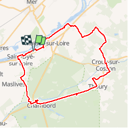

39 km | 43 km-effort


User


FREE GPS app for hiking
 SityTrail
IGN / Geographical institutes
SityTrail World
The world is yours!
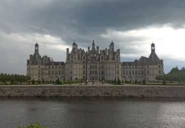
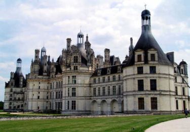
Trail Cycle of 37 km to be discovered at Centre-Loire Valley, Loir-et-Cher, Muides-sur-Loire. This trail is proposed by Jeanlouisbray.
rando routes pistes cyclables allées forestières
Road bike

On foot
Hybrid bike
Walking
Cycle

Walking
Walking
Walking
On foot