


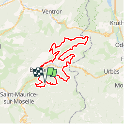


15 km | 24 km-effort

User GUIDE


FREE GPS app for hiking
 SityTrail
IGN / Geographical institutes
SityTrail World
The world is yours!
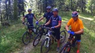
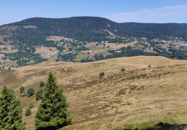
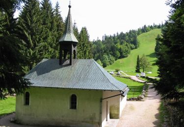
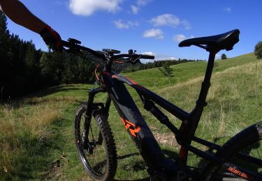
Trail Mountain bike of 33 km to be discovered at Grand Est, Vosges, Bussang. This trail is proposed by pascalou73.
Une sortie en vtt dans la belle région de Bussang dans les vosges. Cette randonnée va vous faire découvrir au départ du camping la randonnée n°8 et n°9 avec quelques petites modifications et vous faire découvrir le massif des vosges


Walking

Walking

Snowshoes

Walking

Mountain bike

Mountain bike
Walking
On foot
Mountain bike