


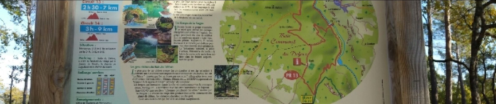
7.3 km | 10.3 km-effort

User


FREE GPS app for hiking
 SityTrail
IGN / Geographical institutes
SityTrail World
The world is yours!
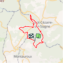
Trail Walking of 15.6 km to be discovered at Provence-Alpes-Côte d'Azur, Var, Montauroux. This trail is proposed by Sugg.
16-11-16
Rando avec le groupe 1 de Restons en forme.
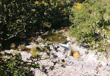
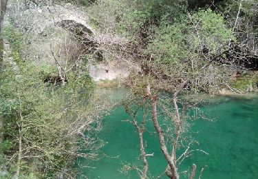
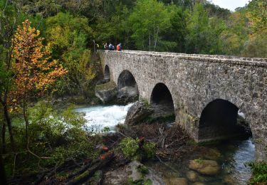
Les gorges de la Siagne depuis le parcours sportif de Montauroux.
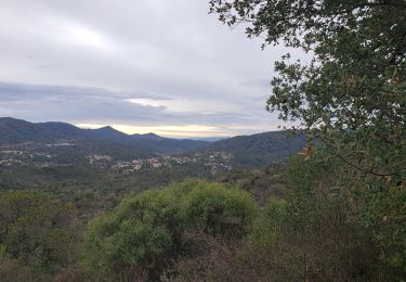
Temps exceptionnel pour la saison.
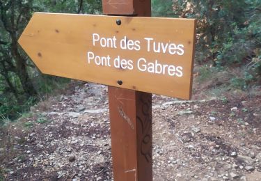
Petit cafouillage à l'Ouest de Bois du Défens sou 391.Piste non visible et parfois pas à l'endroit indiqué par le GPS.
Rien de grave.....
PS : de nombreuses variantes possibles.


On foot
On foot

Walking
Walking
Walking
Walking
Walking
Walking
Walking