


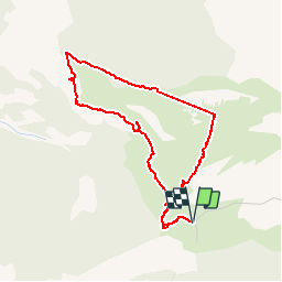


7 km | 11.9 km-effort


User


FREE GPS app for hiking
 SityTrail
IGN / Geographical institutes
SityTrail World
The world is yours!
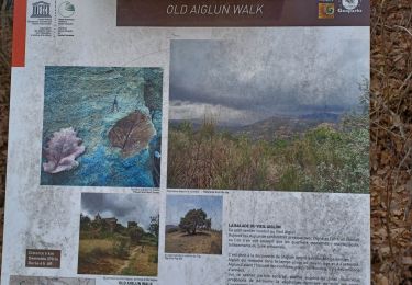
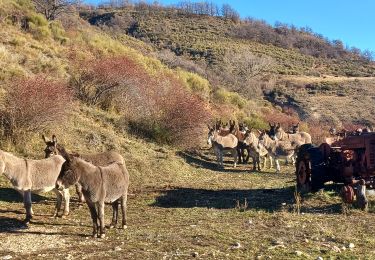
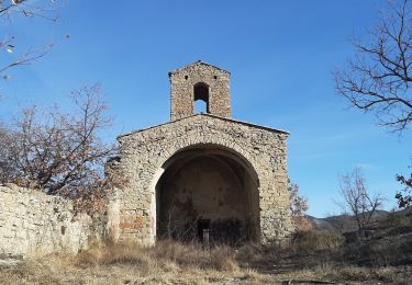
Trail Walking of 4.3 km to be discovered at Provence-Alpes-Côte d'Azur, Alpes-de-Haute-Provence, Champtercier. This trail is proposed by motardes04.
montée bien raide à éviter après la pluie
Walking
Walking

Walking

Mountain bike

Mountain bike
Walking

Walking
Walking
Walking