


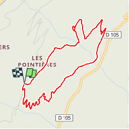

5.1 km | 8.9 km-effort


User GUIDE


FREE GPS app for hiking
 SityTrail
IGN / Geographical institutes
SityTrail World
The world is yours!
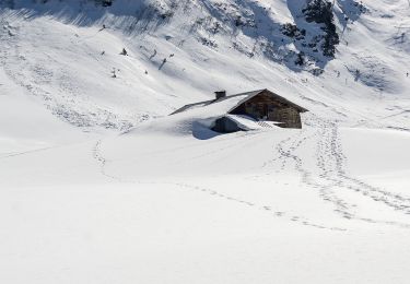
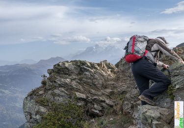
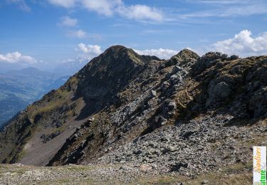
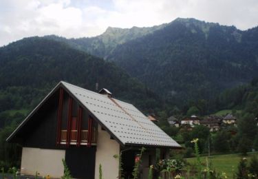
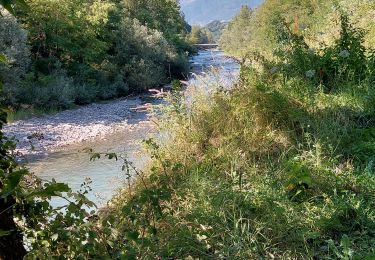
Trail Walking of 5.1 km to be discovered at Auvergne-Rhône-Alpes, Savoy, Queige. This trail is proposed by Desrumaux.
Détails de la rando sur TraceGPS.com
http://www.tracegps.com/fr/parcours/circuit11530.htm
Walking
Walking
Cycle
Snowshoes

Walking
Walking
Walking
Walking
Walking