


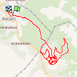


18.8 km | 27 km-effort

User


FREE GPS app for hiking
 SityTrail
IGN / Geographical institutes
SityTrail World
The world is yours!
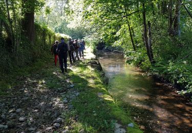
Trail Mountain bike of 22 km to be discovered at New Aquitaine, Pyrénées-Atlantiques, Ascain. This trail is proposed by Gus64.
ascain-st ignace-suhalmendi- jour de pluie

Walking
Walking

Walking

Walking

Walking

Walking
Walking
Walking

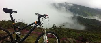
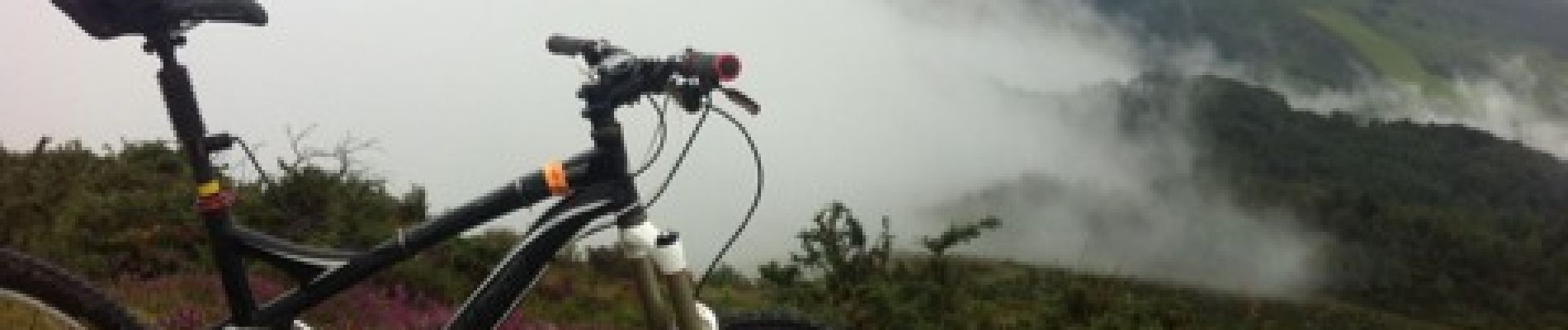
Mountain bike