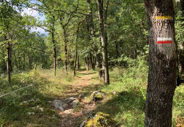
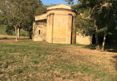
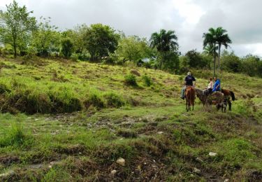
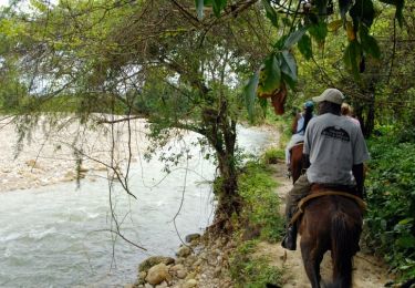
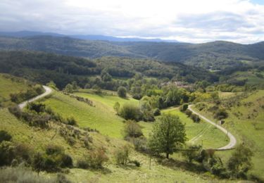
Trail Mountain bike Verniolle - 2011-07-29 13h32m46 - Photo

2011-07-29 13h32m46

© OpenStreetMap contributors
Length
Length
48 km
Max alt
Max alt
609 m
Uphill gradient
Uphill gradient
920 m
Km-Effort
Km-Effort  
60 km
Min alt
Min alt
300 m
Downhill gradient
Downhill gradient
920 m
Boucle
Boucle
Yes
Creation date :
2014-12-10 00:00:00.0
Updated on :
2014-12-10 00:00:00.0

(0 Reviews)

Mountain bike
Mountain bike
--
Difficulty : Difficult

Scan this QR Code to open this trail in the SityTrail application

FREE GPS app for hiking

Logo SityTrail SityTrail

IGN / Geographical institutes

Download SityTrail from the App Store Download SityTrail from Google Play

Logo SityTrail SityTrail World

The world is yours!

Download SityTrail from the App Store Download SityTrail from Google Play Download SityTrail on Huawei AppGallery

About

Trail Mountain bike of 48 km to be discovered at Occitania, Ariège, Verniolle. This trail is proposed by gillessau.

Elevation profile

Points of interest

Point of interest Vira - Point 1 - Photo
gillessau
VIRA 

Positioning

Country:
France
Region :
Occitania
Department/Province :
Ariège
Municipality :
Verniolle
Location:
Unknown
Start:(UTM)
388796 ; 4770599 (31T) N.

Trails nearby

Trail Walking Pamiers - 2023 09 18 CHEMIN du PIÉMONT PYRÉNÉEN - 11ème étapes :  Pamiers - St-Victor-Rouzaud- Montégut Plantaurel - Le Mas-d’Azit. - Photo
Walking
LEGUE

Walking

Medium
Pamiers, Occitania, Ariège, France
34 km | 44 km-effort
6h 18min
No
Trail Walking Pamiers - Les Coteaux de Pamiers  - Photo
Walking
richardsimopons

Walking

Pamiers, Occitania, Ariège, France
9.8 km | 13.2 km-effort
3h 19min
Yes
Trail Walking Pamiers - Pamiers ch.Crambolie fait - Photo
Walking
pidjam

Walking

Easy
Pamiers, Occitania, Ariège, France
8.3 km | 10.8 km-effort
1h 55min
Yes
Trail Equestrian Pamiers - Chemin de St Jacques - Pamiers - Montaigut Plantaurel - Photo
Equestrian
tracegps

Equestrian

Difficult
Pamiers, Occitania, Ariège, France
15.8 km | 22 km-effort
1h 19min
No
Trail Equestrian Verniolle - Boucle de la Vallée de l'Hers - Verniolle - Vira - Photo
Equestrian
tracegps

Equestrian

Difficult
Verniolle, Occitania, Ariège, France
22 km | 29 km-effort
2h 0min
No
Trail Equestrian Pamiers - Pamiers - Dalou - Photo
Equestrian
tracegps

Equestrian

Difficult
Pamiers, Occitania, Ariège, France
53 km | 74 km-effort
6h 0min
No
Trail Equestrian Dalou - Dalou - Pamiers - Photo
Equestrian
tracegps

Equestrian

Medium
Dalou, Occitania, Ariège, France
23 km | 27 km-effort
2h 0min
No
Trail Mountain bike Pamiers - Grande Traversée VTT FFC Arièges Pyrénées - Etape 8 - Pamiers - Montégut Plantaurel - Photo
Mountain bike
tracegps

Mountain bike

Difficult
Pamiers, Occitania, Ariège, France
17.9 km | 24 km-effort
1h 45min
No
Trail Walking Pamiers - Compost.Pamiers-Gabre 5 - Photo
Walking
ColetteDocteur

Walking

Very difficult
Pamiers, Occitania, Ariège, France
27 km | 36 km-effort
8h 17min
No


Close
My subscriptions