


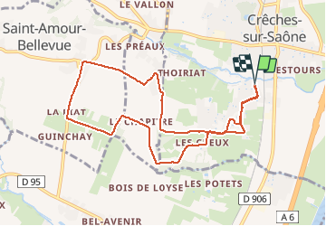

9.5 km | 12.7 km-effort


User


FREE GPS app for hiking
 SityTrail
IGN / Geographical institutes
SityTrail World
The world is yours!
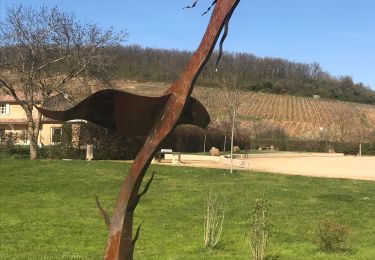
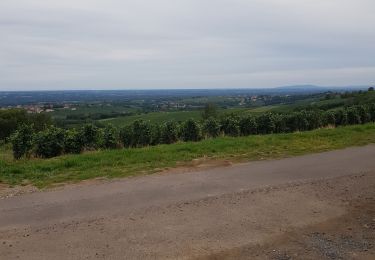
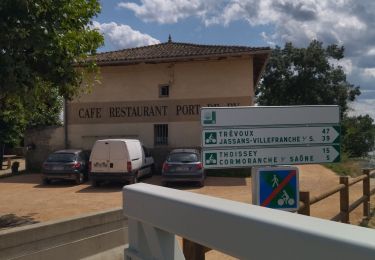
Trail Running of 9.7 km to be discovered at Bourgogne-Franche-Comté, Saône-et-Loire, Crêches-sur-Saône. This trail is proposed by freddy73800.
Walking
Walking

Walking
Walking

Walking
Walking
Running
Road bike
Walking