


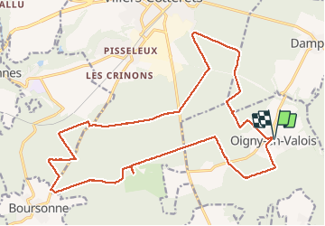


16.8 km | 20 km-effort

forêts de France


FREE GPS app for hiking
 SityTrail
IGN / Geographical institutes
SityTrail World
The world is yours!
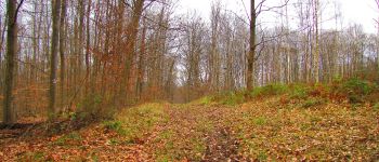
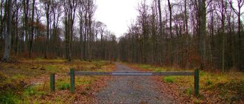
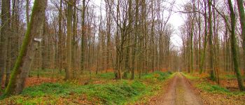
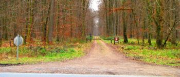
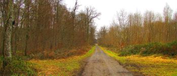
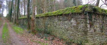
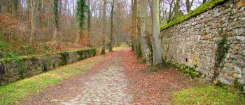
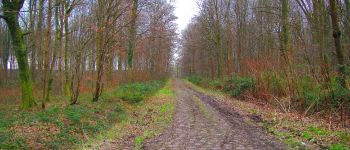
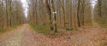
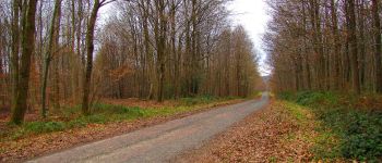
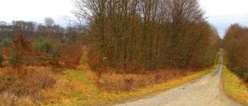
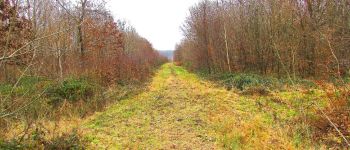
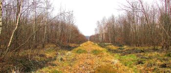
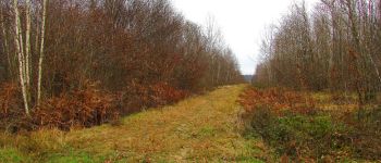
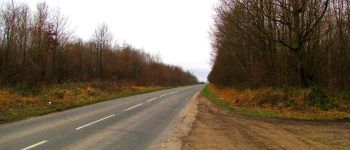
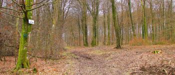
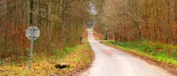
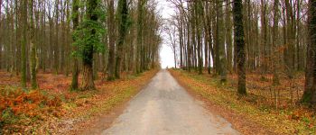
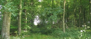
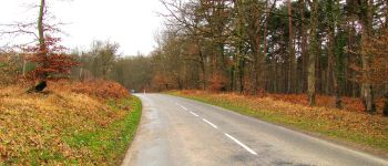
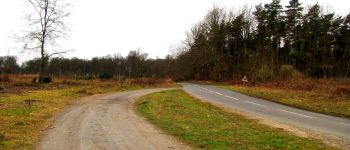
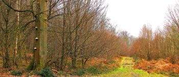
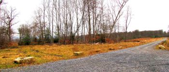
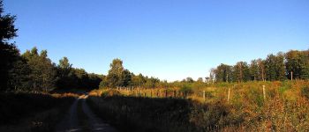
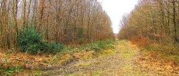
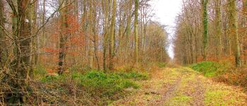
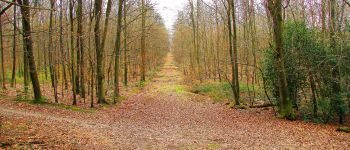
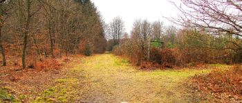
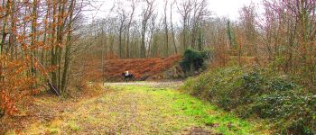
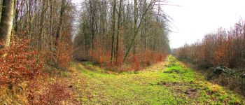
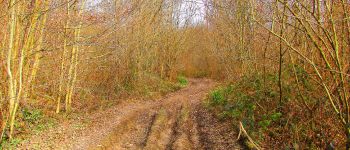
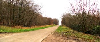
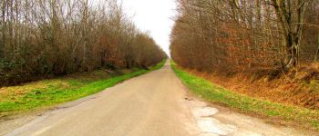
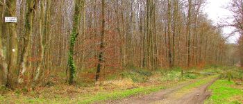
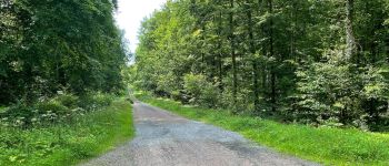
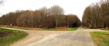
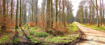
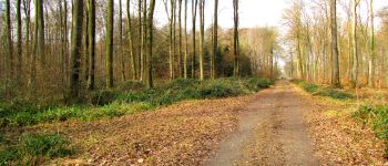
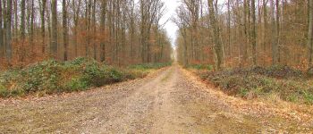
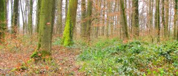
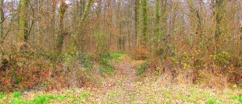
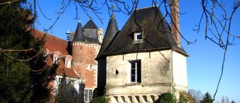
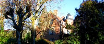
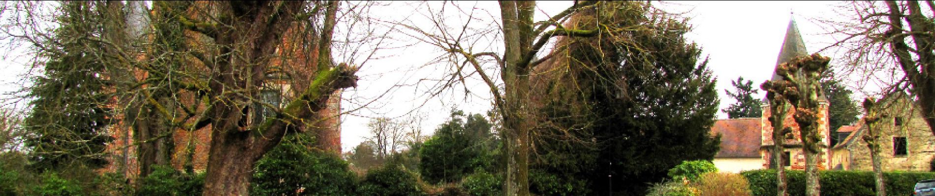
Trail Walking of 24 km to be discovered at Hauts-de-France, Aisne, Oigny-en-Valois. This trail is proposed by en forêt de Retz.
voir aussi:
http://foret-de-retz.over-blog.com/
02/2017
batterie pour iphone indispensable pour enregistrer la rando.
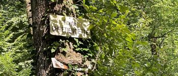
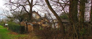
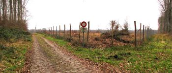
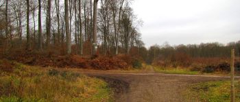
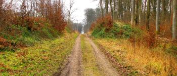
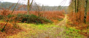
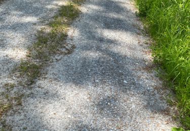
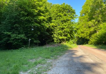
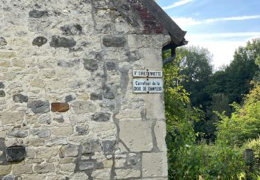
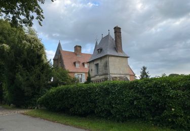
Au départ du château d'Oigny en Valois, suivre la route de Silly la Poterie jusqu'au carrefour avec la route de Faverolles. Prendre à droite la route de Faverolles jusqu'au carrefour Louise puis encore à droite la laie de François 1er jusqu'au carrefour de la Chaussée de Baisemont. Traverser la D1380 et suivre la laie de la Chaussée de l'Etang jusqu'au carrefour des Fontaines Longpont. Prendre à gauche la route Chrétiennette jusqu'au carrefour de Bourfontaine (voir l'ancienne Chartreuse de Bourfontaine). Prendre à gauche la route de Buton jusqu'au carrefour avec la laie de l'Abbaye. Continuer sur la laie de l'Abbaye jusqu'au carrefour avec la route du Virlet. Suivre à droite la route du Virlet jusqu'au carrefour du Virlet. Retrouver à gauche la route Chrétiennette jusqu'à la maison forestière du Virlet. Prendre à droite la D81 jusqu'au carrefour des Bons Glands puis à gauche la laie du Champ Familier jusqu'au carrefour de la Fontaine. Prendre à droite la Route Droite jusqu'au carrefour avec la Roue de la Queue d'Ham. Suivre à gauche cette route jusqu'au carrefour de la Sorcière. Prendre à droite le GR11, traverser le carrefour du Poteau Coquetier, continuer le GR11 à gauche jusqu'au carrefour avec la laie de la Matreuse. Continuer à droite sur cette laie jusqu'au carrefour des Dayancourts. Prendre à droite jusqu'au carrefour du Pavé Neuf puis à gauche jusqu'au carrefour des Tourneurs. Prendre à droite la route Droite jusqu'au carrefour du Rond de Chatillon. Prendre à gauche la route Coquetière jusqu'au carrefour Michaux puis à gauche pour retrouver le GR11 et le suivre sur la droite jusqu'au Château d'Oigny en Valois.


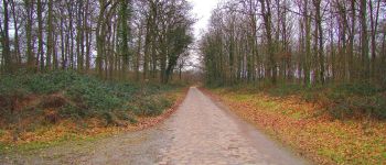
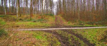
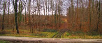
255 photos in total. Please click on a photo to see them all in the gallery.
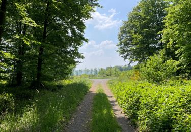
Walking

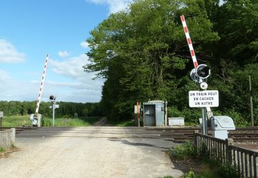
Walking
Walking
Walking

Walking
Walking
Walking
Walking
Walking