


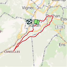

6.4 km | 9.2 km-effort


User


FREE GPS app for hiking
 SityTrail
IGN / Geographical institutes
SityTrail World
The world is yours!
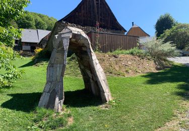
Trail Walking of 6.8 km to be discovered at Occitania, Hautespyrenees, Saint-Lary-Soulan. This trail is proposed by tchab.


Walking

Walking
Walking
Walking

sport

Walking
On foot
Walking
Walking
Très bien fait
Sympa on peut y croiser des vtt, pensez à vous protéger des moustiques pour les passages en forêt