


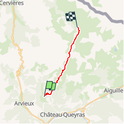

11.7 km | 19.7 km-effort


User


FREE GPS app for hiking
 SityTrail
IGN / Geographical institutes
SityTrail World
The world is yours!
Trail Walking of 10.6 km to be discovered at Provence-Alpes-Côte d'Azur, Hautes-Alpes, Château-Ville-Vieille. This trail is proposed by rafa77.
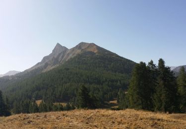
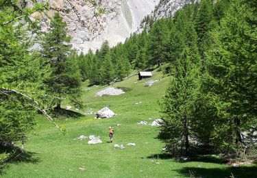
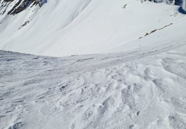
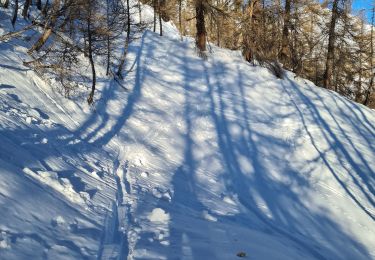
Etape difficile entre Souliers et les Fonds de Cevieres .Final dans un cadre tres sauvage

Walking
Walking
Via ferrata

Mountain bike

Walking

Other activity
Snowshoes
Touring skiing
Touring skiing