


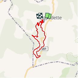


9.4 km | 12.8 km-effort

User


FREE GPS app for hiking
 SityTrail
IGN / Geographical institutes
SityTrail World
The world is yours!
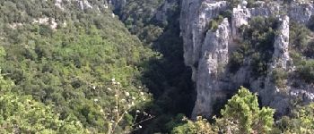
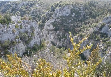
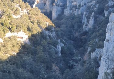
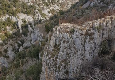
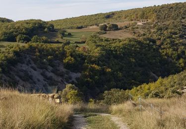
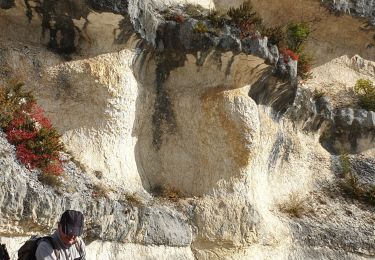
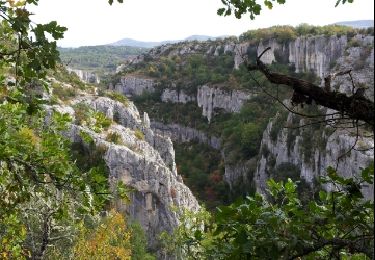
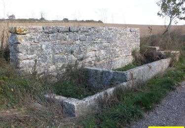
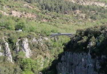
Trail Walking of 8.6 km to be discovered at Provence-Alpes-Côte d'Azur, Alpes-de-Haute-Provence, Oppedette. This trail is proposed by renuka.
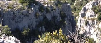
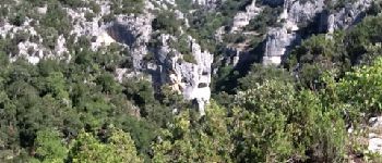
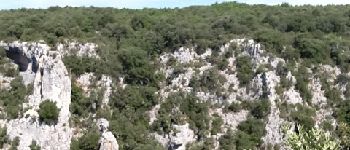
J'ai fais cette randonnée en compagnie de toute ma famille, nous étions 4 dont 2 enfants de 7 et 13 ans. A déconseiller pour les enfants de moins de 12 ans.


Walking
Walking
Walking
Walking
Walking

Walking
Walking
Walking
Walking