


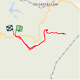


20 km | 29 km-effort

User


FREE GPS app for hiking
 SityTrail
IGN / Geographical institutes
SityTrail World
The world is yours!
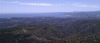
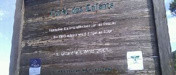
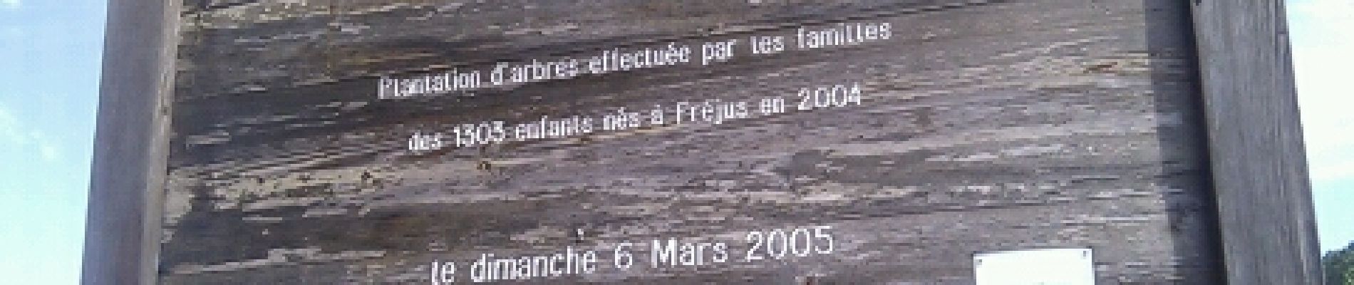
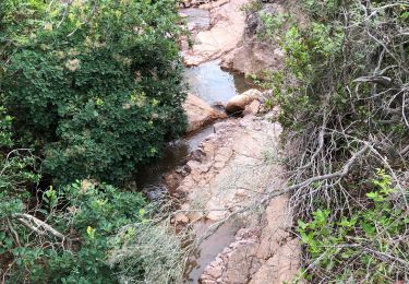
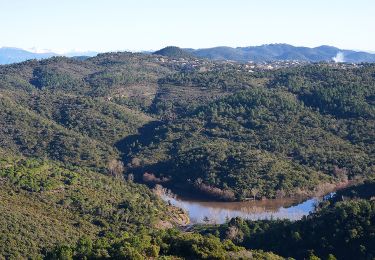
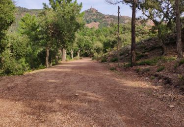
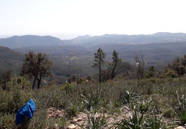
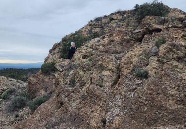
Trail Walking of 7.8 km to be discovered at Provence-Alpes-Côte d'Azur, Var, Fréjus. This trail is proposed by i20.


Walking
Walking
Walking

Walking

Mountain bike
Walking

Walking

Walking
Walking
A/Rsur le même chemin. Dommage!Bernard