


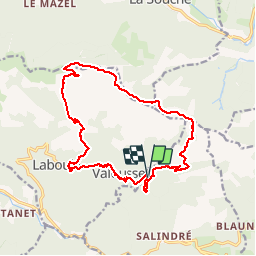

65 km | 93 km-effort

User


FREE GPS app for hiking
 SityTrail
IGN / Geographical institutes
SityTrail World
The world is yours!
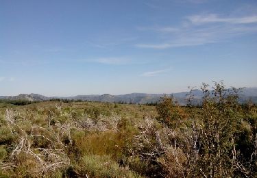
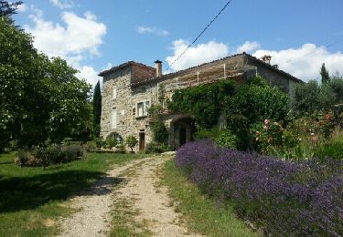
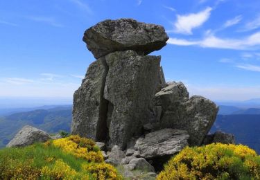
Trail On foot of 17.1 km to be discovered at Auvergne-Rhône-Alpes, Ardèche, Rocles. This trail is proposed by silvestreclaudine.
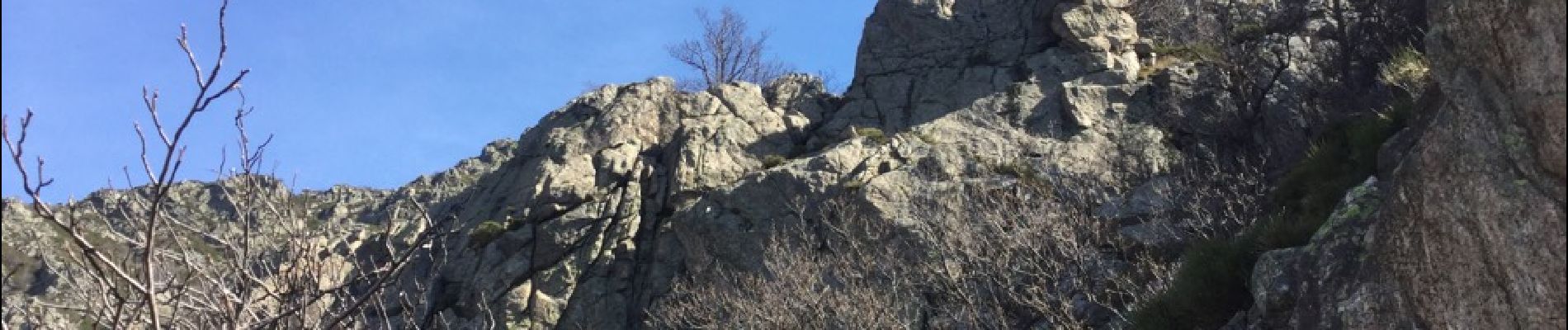
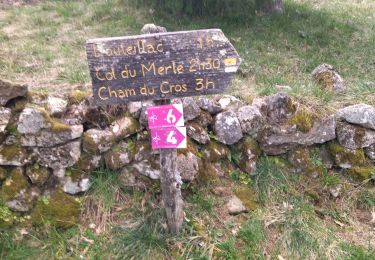
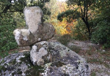
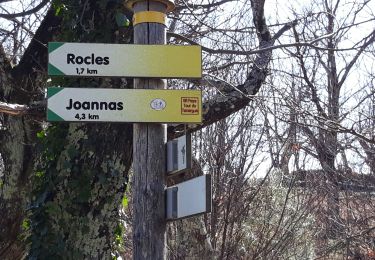
Depart du pont : passage difficile et dangereux dans les rochers ( vertiges s'abstenir) suivre balisage jaune et blanc , rochers balisage vert et blanc puis GR et ensuite jaune et blanc


Mountain bike
Walking
Walking
Walking
Running
Mountain bike
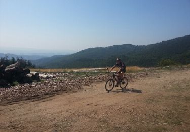
Mountain bike

On foot
Walking