


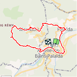

12.8 km | 23 km-effort


User


FREE GPS app for hiking
 SityTrail
IGN / Geographical institutes
SityTrail World
The world is yours!
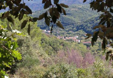
Trail Walking of 9.9 km to be discovered at Occitania, Pyrénées-Orientales, Amélie-les-Bains-Palalda. This trail is proposed by jeff66.
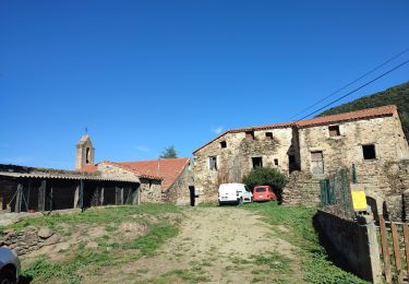
RP66 AMÉLIE LES BAINS - MONTBOLO - PALALDA - le 07.04.2017 - la Garretose - Els Puintans -pylône - piste DFCI V24 et A127 - CAN Guardiol - Montbolo - clinique Al SOLA - le Manes - Peralda - Amélie les bains - bord de Tech
Walking
Walking
Walking
Other activity
Walking
Walking

Walking

Walking

Walking