


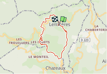


13.6 km | 23 km-effort


User


FREE GPS app for hiking
 SityTrail
IGN / Geographical institutes
SityTrail World
The world is yours!
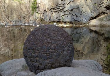
Trail Walking of 6.9 km to be discovered at Auvergne-Rhône-Alpes, Ardèche, Lentillères. This trail is proposed by Thierry_Garre.
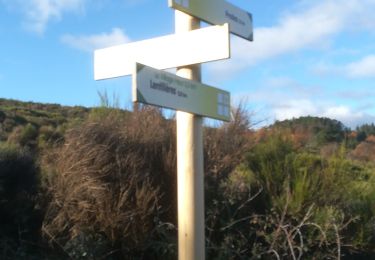
-Descendre du hameau des Imberts en direction du sud est
-traverser la piste
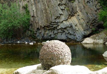
longer la rivière vers le sud
au pont romain suivre la rivière sans la traverser.
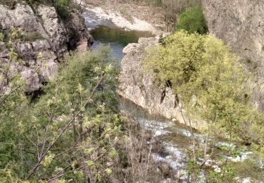
-rejoindre et suivre la route jusqu'au pont.
-traverser le pont et suivre la rivière jusqu’à une grande prairie (chevaux)
-au bout de la prairie remonter a droite par un chemin jusqu'au Hameau des Ladets.
suivre la route sur la gauche jusqu'au carrefour.
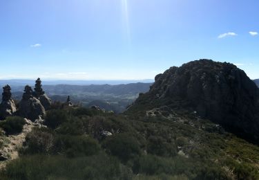
Reprendre à droite la RD335 jusqu'au col de l'Eyrolle.
Au col prendre la route a gauche vers Valsadoul.
prendre le chemin à droite après la cabane des chasseurs.
Suivre le chemin jusqu'au hameau du village.passer sous le porche.
Apres le porche descendre vers les Imberts par un chemin.
Penser a refermer les barrières derrière vous.
Bonne ballade
Walking

Walking
Walking

Walking
Walking
Walking
Walking
Walking
Walking