


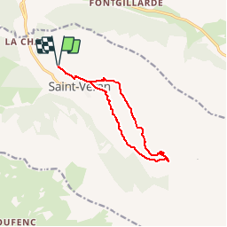

13.1 km | 23 km-effort


User


FREE GPS app for hiking
 SityTrail
IGN / Geographical institutes
SityTrail World
The world is yours!
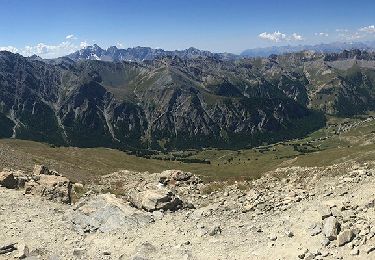
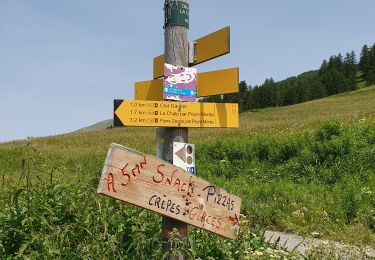
Trail Walking of 11.2 km to be discovered at Provence-Alpes-Côte d'Azur, Hautes-Alpes, Saint-Véran. This trail is proposed by lviallet.
Aire communale:
44.704722, 6.860833

Walking
Walking

Walking

Walking

Other activity
Walking

Snowshoes

Snowshoes

Touring skiing