


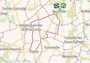


13.1 km | 14.9 km-effort


User


FREE GPS app for hiking
 SityTrail
IGN / Geographical institutes
SityTrail World
The world is yours!
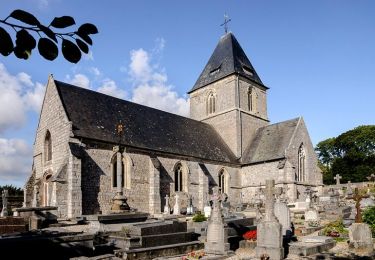
Trail Walking of 13.5 km to be discovered at Normandy, Seine-Maritime, Bourville. This trail is proposed by Brindille.

Walking
Walking
Walking

Walking
Walking

Other activity

Walking

Other activity
Walking