


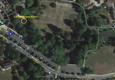
7.1 km | 9.3 km-effort

Randonnées du Parc naturel régional de la Haute Vallée de Chevreuse GUIDE+


FREE GPS app for hiking
 SityTrail
IGN / Geographical institutes
SityTrail World
The world is yours!
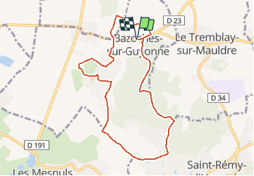
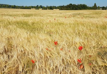
Trail Walking of 8.5 km to be discovered at Ile-de-France, Yvelines, Bazoches-sur-Guyonne. This trail is proposed by Parc naturel régional de la Haute Vallée de Chevreuse.
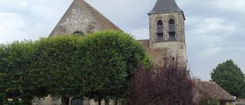
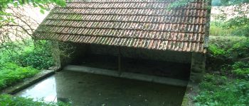
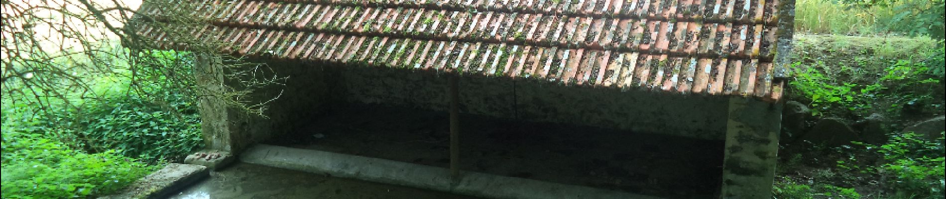
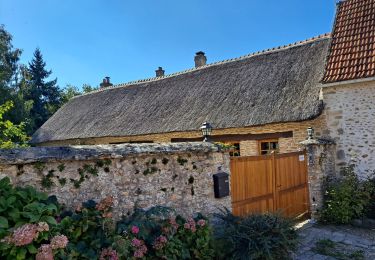
Paisible village lové sur les lianes d'une colline boisée face à Montfort-L'Amaury, Bazoches-sur-Guyonne, commune du père fondateurde l'Europe, propose une multitude de sentes et chemins joliment balisésde fleurs par les enfants des écoles. Cette balade qui chemine entremaisons au toit de chaume, lavoirs pittoresques, coteau boisé et plaineverdoyante vous conduira aussi vers deux demeures d'exception, par leur architecture ou leur histoire.


Walking
![Trail Walking Montfort-l'Amaury - Yvelines_[Rando_Journée]_Montfort=>Les Mesnuls=>Autour_de_Montfort - Tronçon 1 - Photo](https://media.geolcdn.com/t/375/260/ext.jpg?maxdim=2&url=https%3A%2F%2Fmedia.geolcdn.com%2Ff%2F9a77b4d0-afa4-42cb-beea-4a17fa8cb8c3.jpg)
Walking
![Trail Walking Montfort-l'Amaury - Yvelines_[Rando_Journée]_Montfort=>Les Mesnuls=>Autour_de_Montfort - Tronçon 2 - Photo](https://media.geolcdn.com/t/375/260/ext.jpg?maxdim=2&url=https%3A%2F%2Fmedia.geolcdn.com%2Ff%2F3a031c20-1fc4-4232-b97e-93470db48f02.jpg)
Walking
Walking
Walking
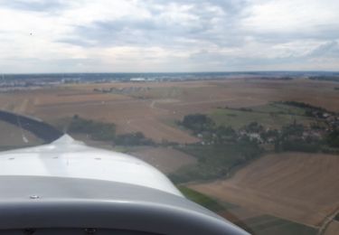
Plane

Walking
Walking
Walking