


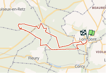


17.5 km | 21 km-effort

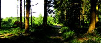
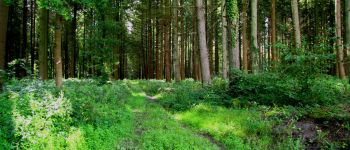
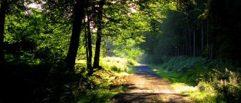
forêts de France


FREE GPS app for hiking
 SityTrail
IGN / Geographical institutes
SityTrail World
The world is yours!
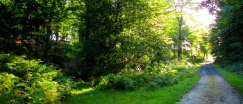
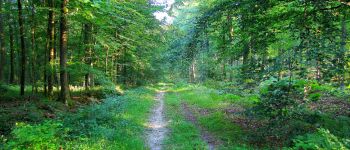
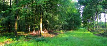
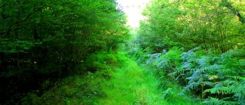
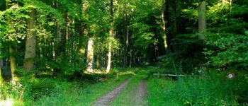
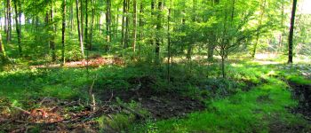
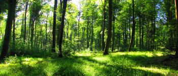
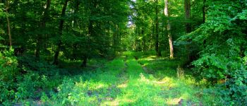
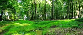
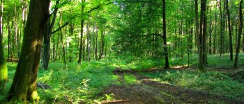
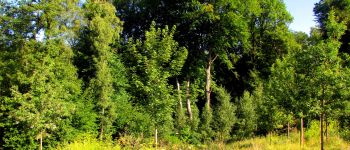
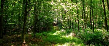
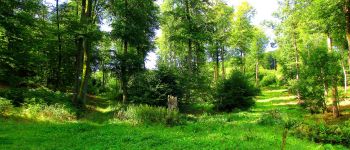
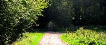
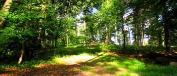
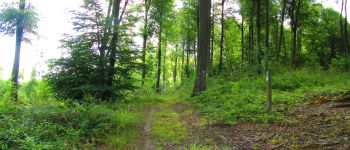
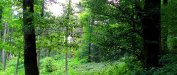
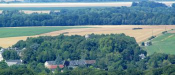
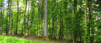
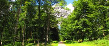
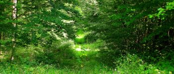
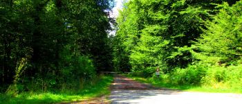
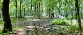
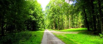
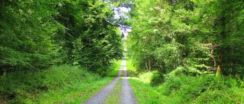
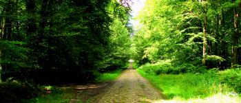
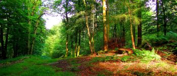
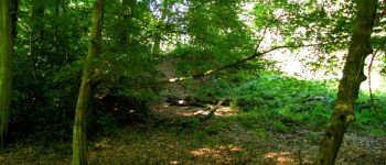
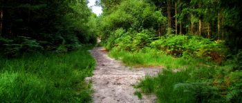
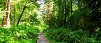
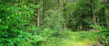
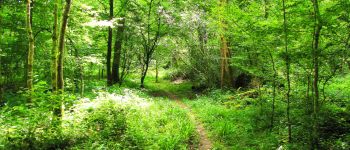
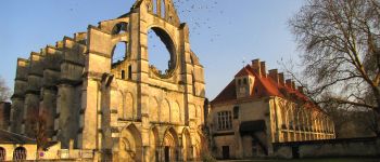
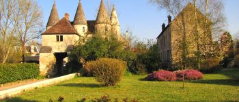
Trail Walking of 18.4 km to be discovered at Hauts-de-France, Aisne, Longpont. This trail is proposed by en forêt de Retz.
voir aussi:
http://foret-de-retz.over-blog.com/
08/2017
batterie pour iphone indispensable
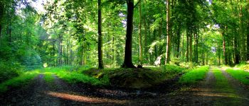
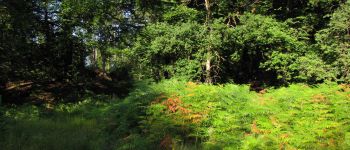
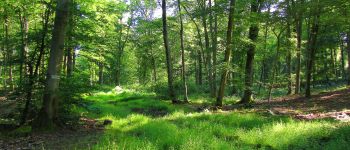
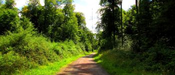
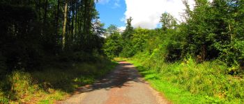
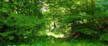
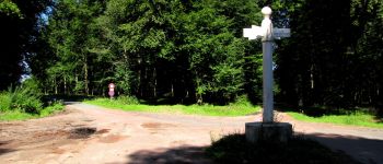
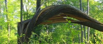
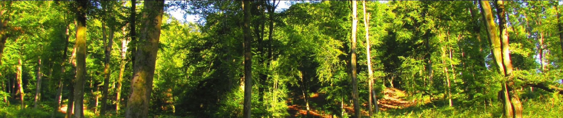
Au départ de l'Abbaye de Longpont, rejoindre le GR11A "aux trois maisons". Le suivre jusqu'au chemin de Longpont. Tourner à gauche et continuer le chemin de Longpont jusqu'au carrefour de Vieville. Prendre à droite la Route Droite et la suivre jusqu'au carrefour de Chavigny. Prendre la laie des Monthieux jusqu'au carrefour du Chapeau des Cordeliers. Prendre à droite la laie de la Beauve. Effacée! Rejoindre la laie des Couleuvres puis à gauche la tournante du carrefour du Chapeau des Cordeliers et récupérer ainsi la laie de la Beauve à droite. Ouf. Continuer jusqu'au carrefour de Montgobert et prendre à gauche la Route Chrétiennette. La suivre jusqu'au carrefour des Monthieux. Prendre à droite la laie des Monthieux puis traverser le biopont. Rejoindre à gauche le carrefour des Carrosses et suivre à droite la laie des Monthieux (?) jusqu'au carrefour des Têtes Salmon. Suivre la route du Mur du Parc puis prendre à gauche la laie des Chablis des Bouleaux jusqu'au carrefour des Terres Glaises. Récupérer à gauche le GR11A et continuer jusqu'à la nouvelle Tour du Général Mangin (25m de hauteur, point le plus élevé de la Forêt de Retz à son sommet, accessible grâce à 8 étages). Repartir de la tour sur le GR11A et prendre à gauche la Route du Faîte. Traverser la N2 (attention au trafic routier) et continuer la Route du Faîte jusqu'au carrefour des Princesses. Prendre sur la droite la laie de l'Air l'Oiseau jusqu'au carrefour de l'Air l'Oiseau puis à gauche la laie des étangs de Longpont jusqu'au carrefour des Sangliers. Suivre à droite la Route du Faîte jusqu'au carrefour de la Croix Bacquet. Prendre le chemin de Longpont puis continuer sur la route du Pendu (à l'intersection du chemin) jusqu'au carrefour du Pendu. Prendre à droite la laie du Vieux Mur puis sur la droite le chemin menant sur la D17 mais un peu avant d'y arriver, suivre à gauche un sentier pour récupérer le GR11A et rentrer à Longpont.


191 photos in total. Please click on a photo to see them all in the gallery.

Walking

Walking

Walking

On foot

On foot

Walking

Walking

Walking

Walking