


4.2 km | 6.8 km-effort


User


FREE GPS app for hiking
 SityTrail
IGN / Geographical institutes
SityTrail World
The world is yours!
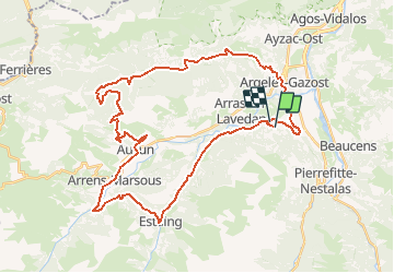
Trail Mountain bike of 44 km to be discovered at Occitania, Hautespyrenees, Arcizans-Avant. This trail is proposed by herve.feurprier.
EN VTTAE

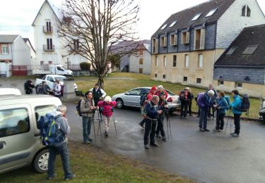
Walking

Walking

Electric bike
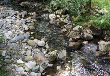
Walking
Walking
Walking
Walking

Walking
Walking