


27 km | 31 km-effort

User


FREE GPS app for hiking
 SityTrail
IGN / Geographical institutes
SityTrail World
The world is yours!
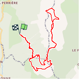
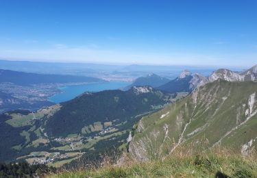
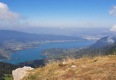
Trail Walking of 14.4 km to be discovered at Auvergne-Rhône-Alpes, Upper Savoy, Talloires-Montmin. This trail is proposed by Michel_Martin.
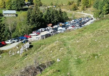
Départ Plan montmin
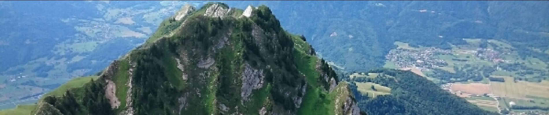
Crêt des mouches
Pointe de Banc Fleury


Mountain bike

Walking

Walking
Walking

Walking

Cycle
Walking
Walking

Walking