


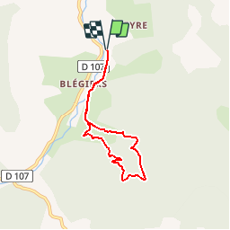


12.3 km | 21 km-effort


User


FREE GPS app for hiking
 SityTrail
IGN / Geographical institutes
SityTrail World
The world is yours!
Trail Walking of 6.2 km to be discovered at Provence-Alpes-Côte d'Azur, Alpes-de-Haute-Provence, Prads-Haute-Bléone. This trail is proposed by neitag61.
Un Magnifique sentier qui raconte une Histoire ( Celle de Marcel, un berger de Blégiers );
Départ : Passer le pont en bois et se garer tout juste après
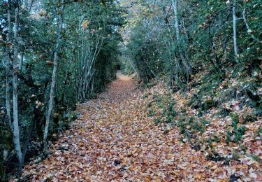
Walking

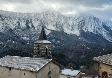
Walking
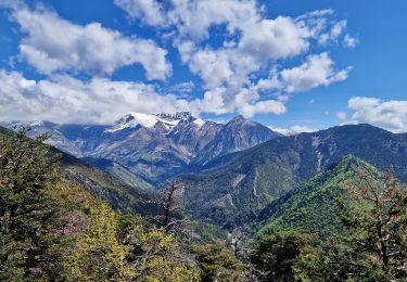
Walking
Walking

Walking

Walking
Walking
Walking
Walking