


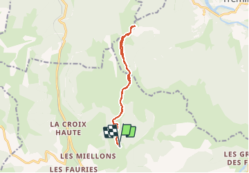


10.3 km | 17.5 km-effort

User


FREE GPS app for hiking
 SityTrail
IGN / Geographical institutes
SityTrail World
The world is yours!
Trail Walking of 12.3 km to be discovered at Auvergne-Rhône-Alpes, Drôme, Lus-la-Croix-Haute. This trail is proposed by RD78-38.
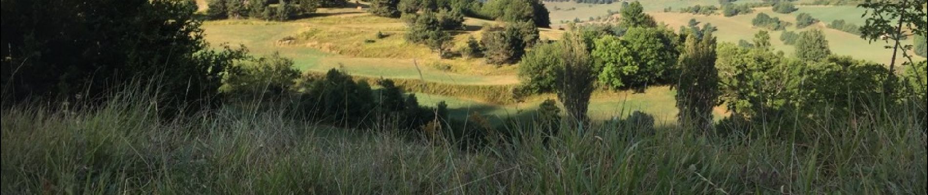
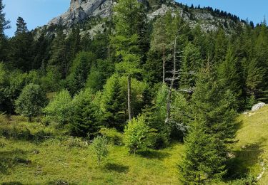
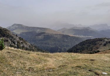
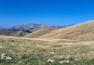
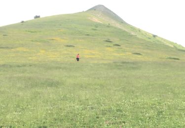
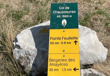
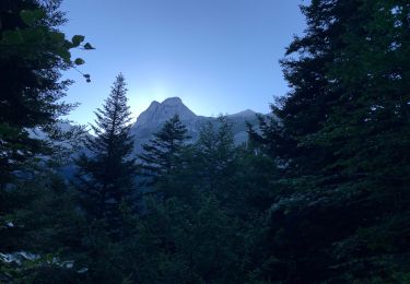
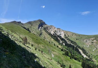
Superbes vues et paysages (cf.photos) le long de cette Randonnée facile. Seule la montée du sommet de l'AUP peut-être un peu raide si on l'a monté en direct sans faire de lacets. Nous n'avons pas pu faire la Randonnée complète que nous voulions faire en continuant vers le ROGNON à cause du fort vent, mais nous remettrons cela car ça en vaut la peine.


26 photos in total. Please click on a photo to see them all in the gallery.
Walking

Walking

Walking
Walking
Walking
Walking
Walking
Walking
Walking