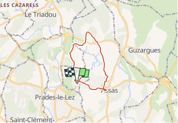

21 km | 23 km-effort


User


FREE GPS app for hiking
 SityTrail
IGN / Geographical institutes
SityTrail World
The world is yours!
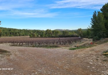
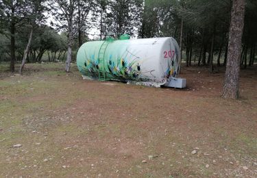
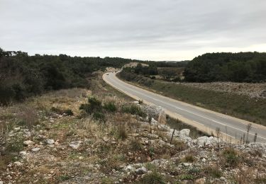
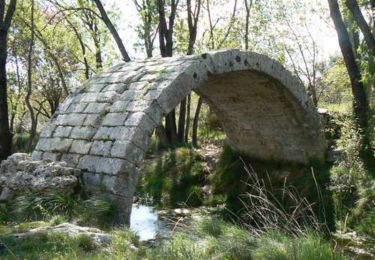
Trail Walking of 10.5 km to be discovered at Occitania, Hérault, Saint-Vincent-de-Barbeyrargues. This trail is proposed by ALDOMI30.
La plaine du rang
Mountain bike

Walking
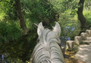
Horseback riding

On foot

Mountain bike