


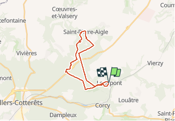


17.5 km | 21 km-effort

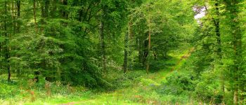
forêts de France


FREE GPS app for hiking
 SityTrail
IGN / Geographical institutes
SityTrail World
The world is yours!
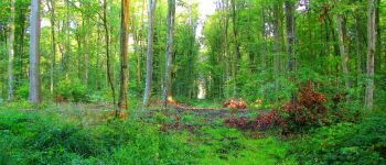
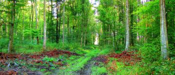
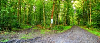
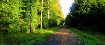
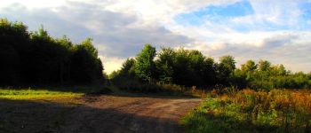
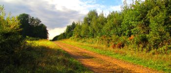
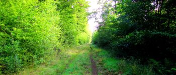
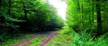
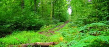
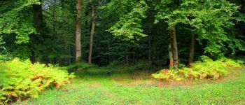
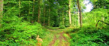
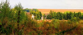
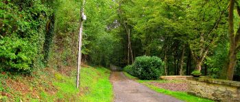
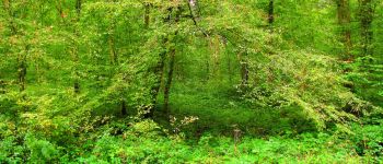
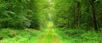
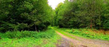
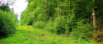
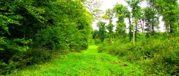
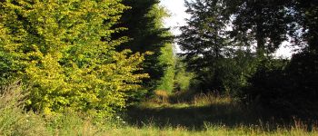
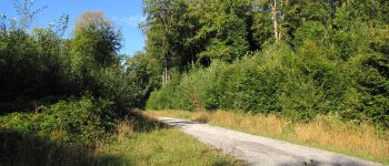
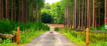
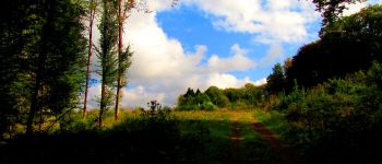
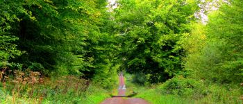
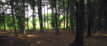
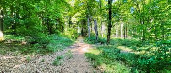
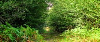
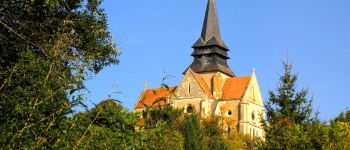
Trail Walking of 23 km to be discovered at Hauts-de-France, Aisne, Longpont. This trail is proposed by en forêt de Retz.
voir aussi
http://foret-de-retz.over-blog.com/
09/ 2017
batterie de rechange pour iPhone obligatoire.
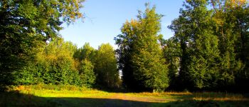
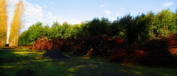
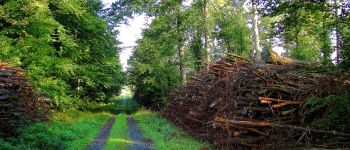
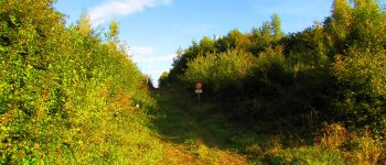
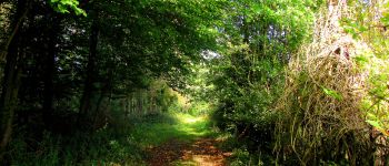
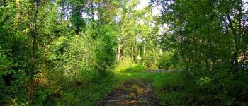
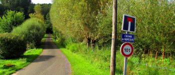
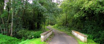
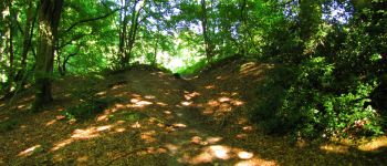
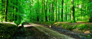
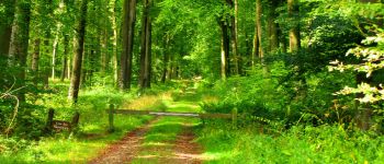
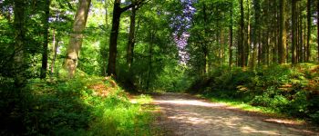
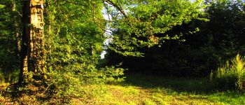
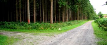
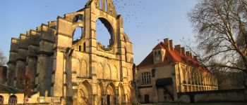
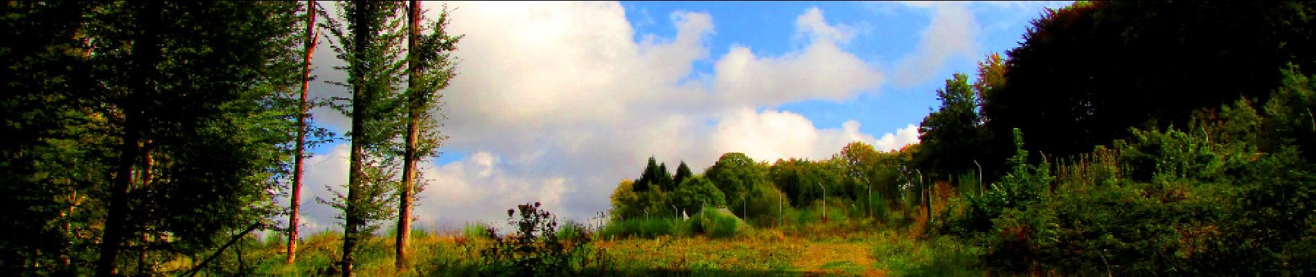
Au départ de l'Abbaye de Longpont, suivre le GR11A aux "trois maisons" et rejoindre le chemin de Longpont. Le prendre sur la gauche et continuer jusqu'au carrefour Gaudrillard. Tourner à droite dans la laie de la Croix de Pain Tendre et continuer jusqu'au carrefour du Hibou. Tourner à droite dans la route du Vauvaudran et la suivre jusqu'au carrefour Cambacérès (attention à la traversée de la N2, rando faîte un dimanche). Prendre à droite la route Chrétiennette (très difficile à cause de la boue et du travail des sangliers). Continuer jusqu'au carrefour avec le chemin des Vertes Feuilles à Saint Pierre. Le suivre sur la gauche, voir les carrières de Saint Pierre Aigle et continuer sur la rue Henri Bonvallet puis la rue Joseph Petitbrouaud. Prendre à gauche la rue du Verly et rejoindre sur la gauche la rue de Coeuvres. Tourner à gauche dans le chemin de Montecouve. Allez jusqu'au bout. Le sentier à droite présent sur la carte IGN qui permet de rejoindre la laie de Vauvaudran n'existe plus. Idem pour la laie de Chafosse. Par contre entre les deux, se trouve un étroit chemin (absent des cartes IGN) qui permet de rejoindre la laie de Vauvaudran. Le suivre pour retrouver la laie de Vauvaudran. Continuer jusqu'au carrefour du Conservateur. Prendre à droite la laie de Chafosse, bien présente ici, jusqu'au carrefour du Grand Veneur. Tourner sur la gauche dans la Route Droite et la suivre jusqu'au carrefour des Tombes. Prendre à droite la laie des Têtes Salmon jusqu'au carrefour de Mademoiselle puis à gauche la D2 jusqu'au carrefour des Ventes Cagniard. Rejoindre la route du Mur du Parc à travers les ronces (très difficile car pas de chemin). Au carrefour avec la laie du Champ Mentard, tourner à gauche pour rejoindre et traverser le biopont (géolocalisation du biopont préférable). Récupérer la laie des Monthieux et la suivre jusqu'au carrefour de Chavigny. Prendre la Route Droite (très boueuse) jusqu'au carrefour de Vieville. Tourner à gauche dans le chemin de Longpont et continuer jusqu'à la D2 puis rejoindre Longpont par la D2.


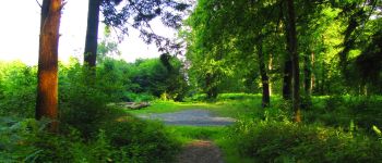
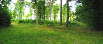
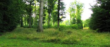
118 photos in total. Please click on a photo to see them all in the gallery.

Walking

Walking

Walking

On foot

On foot

Walking

Walking

Walking

Walking