


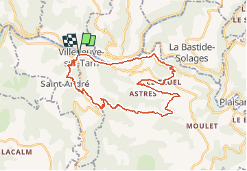

18.8 km | 27 km-effort


User


FREE GPS app for hiking
 SityTrail
IGN / Geographical institutes
SityTrail World
The world is yours!
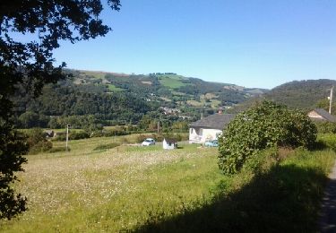
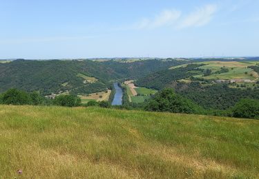
Trail Walking of 18.7 km to be discovered at Occitania, Tarn, Curvalle. This trail is proposed by jab31.
Castanhals longue; vallées et collines
Walking
Walking
Walking

On foot

Walking
On foot
Walking
Walking