


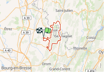

7 km | 11.3 km-effort


User


FREE GPS app for hiking
 SityTrail
IGN / Geographical institutes
SityTrail World
The world is yours!
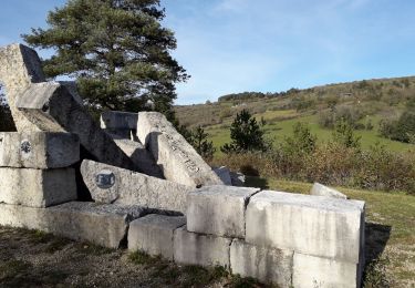
Trail Mountain bike of 46 km to be discovered at Auvergne-Rhône-Alpes, Ain, Val-Revermont. This trail is proposed by Valery01.
Randonnée organisée par le Cyclo Club d’Attignat le dimanche 28 Août 2011 au départ de la Grange du Pin à Treffort Cuisiat.
Walking

Equestrian

sport
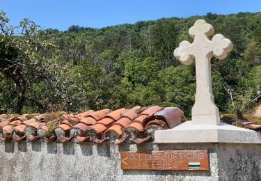
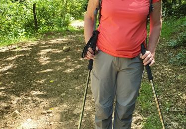
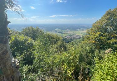
Walking
On foot
Walking
Walking
Walking
Walking