


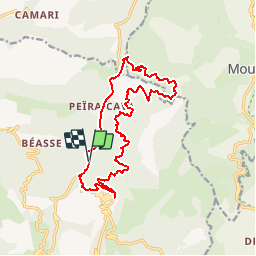

9.9 km | 18.6 km-effort


User


FREE GPS app for hiking
 SityTrail
IGN / Geographical institutes
SityTrail World
The world is yours!
Trail Walking of 16.8 km to be discovered at Provence-Alpes-Côte d'Azur, Maritime Alps, Lucéram. This trail is proposed by michelkoenig06.
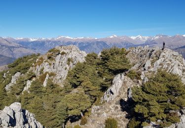
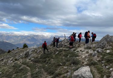
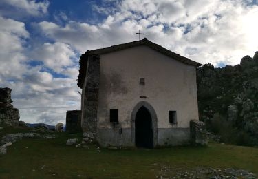
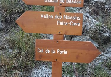
Autour de Peira Cava
Randonnée assez longue. La seule difficulté vient de ce que les sentiers disparaissent de temps en temps. Grâce au GPS on arrive à s'y retrouver.
On foot
Walking
On foot
Walking
Walking
Walking
Walking
Walking
Walking