


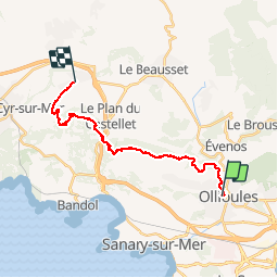


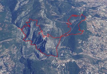
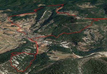
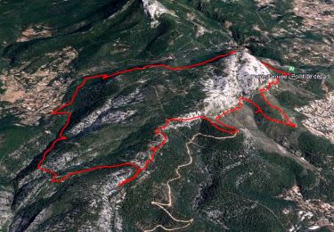
11.8 km | 19.3 km-effort


User


FREE GPS app for hiking
 SityTrail
IGN / Geographical institutes
SityTrail World
The world is yours!
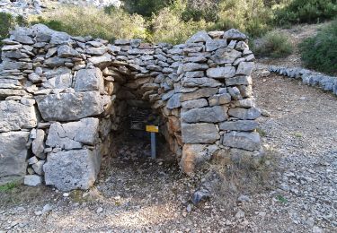
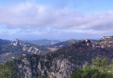
Trail Walking of 20 km to be discovered at Provence-Alpes-Côte d'Azur, Var, Ollioules. This trail is proposed by fredericmasnada.


Walking
Walking

Walking
Walking

Walking
Walking
Walking

Walking

Walking