


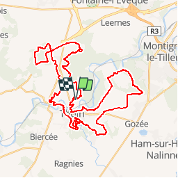


8.7 km | 10.9 km-effort

User GUIDE


FREE GPS app for hiking
 SityTrail
IGN / Geographical institutes
SityTrail World
The world is yours!
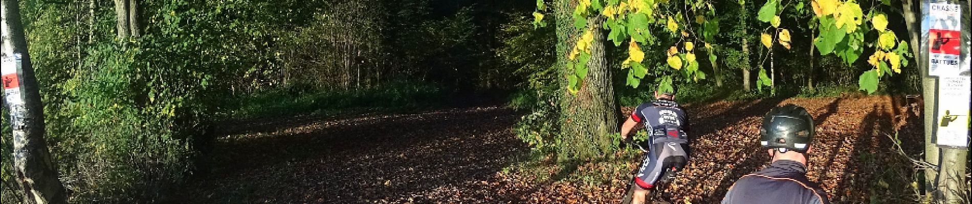
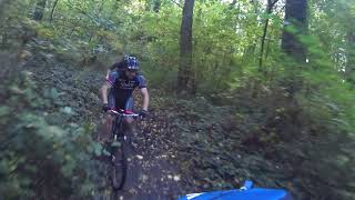
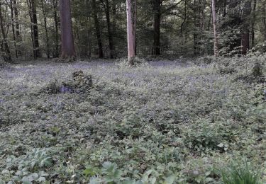
Trail Mountain bike of 44 km to be discovered at Wallonia, Hainaut, Thuin. This trail is proposed by pascalou73.
Un VTT dans la région de Thuin qui va vous faire découvrie la région au fil des sentiers et pas les beaux petits chemins . la randonnée avec quelque belle décente dans des beaux boisent sans difficulté .Bref 43 km de belle rando.


Walking

Walking

Walking

Walking
Walking

Walking
Walking
Walking