


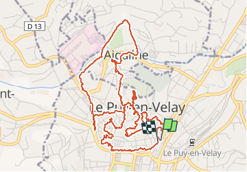

31 km | 41 km-effort


User


FREE GPS app for hiking
 SityTrail
IGN / Geographical institutes
SityTrail World
The world is yours!
Trail Walking of 7.8 km to be discovered at Auvergne-Rhône-Alpes, Haute-Loire, Le Puy-en-Velay. This trail is proposed by fab0202.
principaux monuments du puy


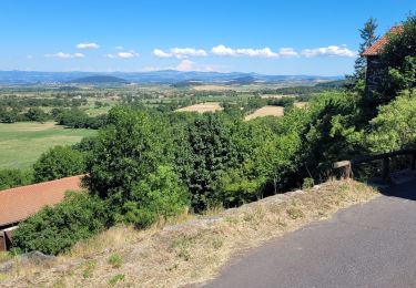
Walking

Walking

Walking

Walking
Walking
Walking
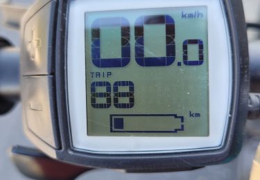
Electric bike

Electric bike
Electric bike