


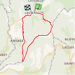

14.9 km | 22 km-effort


User


FREE GPS app for hiking
 SityTrail
IGN / Geographical institutes
SityTrail World
The world is yours!
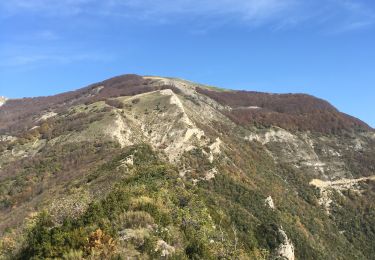
Trail Walking of 14.3 km to be discovered at Auvergne-Rhône-Alpes, Drôme, Omblèze. This trail is proposed by himba26100.
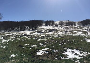
03.11.17 couvert15degre
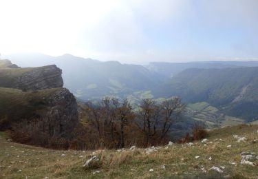
hors sentier balise apres col ombleze
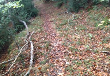
buis encore vert
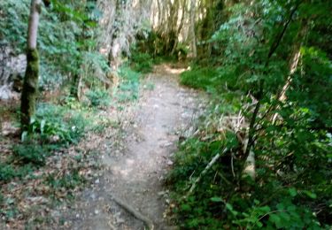
gene

Walking

Walking
Walking
Walking
Walking
Walking

Walking
Walking
Walking