Trail Walking Maurepas - Etangs Dassault 09/11/2017 - Photo

Etangs Dassault 09/11/2017

 microb
microb

User

© OpenStreetMap contributors
Length
Length
7.8 km
Max alt
Max alt
182 m
Uphill gradient
Uphill gradient
109 m
Km-Effort
Km-Effort  
9.3 km
Min alt
Min alt
105 m
Downhill gradient
Downhill gradient
113 m
Boucle
Boucle
No
Creation date :
2018-04-17 12:31:43.398
Updated on :
2018-04-17 12:31:43.398

(0 Reviews)

Walking
Walking
2h01
Difficulty : Medium

Scan this QR Code to open this trail in the SityTrail application

FREE GPS app for hiking

Logo SityTrail SityTrail

IGN / Geographical institutes

Download SityTrail from the App Store Download SityTrail from Google Play

Logo SityTrail SityTrail World

The world is yours!

Download SityTrail from the App Store Download SityTrail from Google Play Download SityTrail on Huawei AppGallery

About

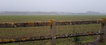
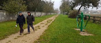
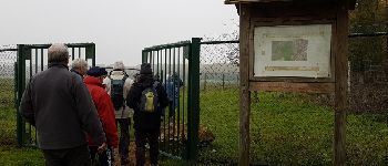
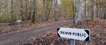
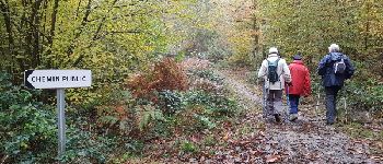
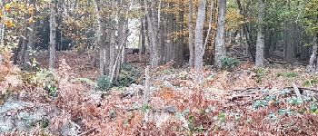
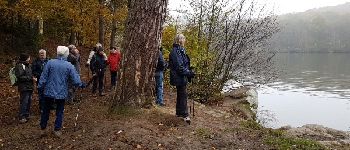
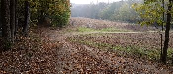
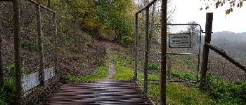
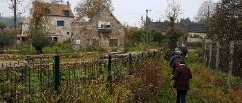
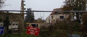
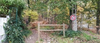
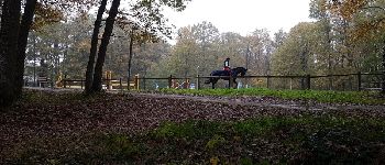
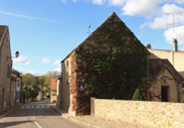
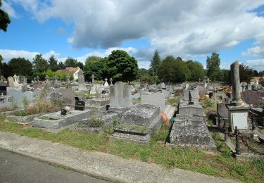
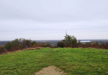
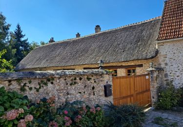
Trail Walking of 7.8 km to be discovered at Ile-de-France, Yvelines, Maurepas. This trail is proposed by microb.

Description

Coignières - Les étangs Dassault - Maurepas

Elevation profile

Photos

Points of interest

Point of interest Coignières - Point 2 - Photo
microb
COIGNIÈRES 
Point of interest Coignières - Allée des pommiers - Photo
microb
COIGNIÈRES 
Point of interest Coignières - Point 4 - Photo
microb
COIGNIÈRES 
Point of interest Coignières - Sur le GR 11 - Photo
microb
COIGNIÈRES 
Point of interest Coignières - Point 7 - Photo
microb
COIGNIÈRES 
Point of interest Coignières - Sangliers - Photo
microb
COIGNIÈRES 
Point of interest Saint-Rémy-l'Honoré - Le Grand Etang - Photo
microb
SAINT-RÉMY-L'HONORÉ 
Point of interest Saint-Rémy-l'Honoré - Point 10 - Photo
microb
SAINT-RÉMY-L'HONORÉ 
Point of interest Saint-Rémy-l'Honoré - Point 11 - Photo
microb
SAINT-RÉMY-L'HONORÉ 
Point of interest Saint-Rémy-l'Honoré - Passage canadien - Photo
microb
SAINT-RÉMY-L'HONORÉ 
Point of interest Saint-Rémy-l'Honoré - Moulin de Bicherel - Photo
microb
SAINT-RÉMY-L'HONORÉ 
Point of interest Saint-Rémy-l'Honoré - Moulin de Bicherel - Photo
microb
SAINT-RÉMY-L'HONORÉ 
Point of interest Jouars-Pontchartrain - Chemin de la cabinette - Photo
microb
JOUARS-PONTCHARTRAIN 
Point of interest Jouars-Pontchartrain - Point 16 - Photo
microb
JOUARS-PONTCHARTRAIN 
Point of interest Jouars-Pontchartrain - La cabinette - Photo
microb
JOUARS-PONTCHARTRAIN 
Point of interest Jouars-Pontchartrain - Centre équestre  - Photo
microb
JOUARS-PONTCHARTRAIN 

Positioning

Country:
France
Region :
Ile-de-France
Department/Province :
Yvelines
Municipality :
Maurepas
Location:
Unknown
Start:(UTM)
420482 ; 5401230 (31U) N.

Trails nearby

Trail Walking Lévis-Saint-Nom - _Le Vallon du Pommeret - Photo
Walking
GUIDE+

Walking

Easy
(11)
Lévis-Saint-Nom, Ile-de-France, Yvelines, France
6.3 km | 8 km-effort
1h 30min
Yes
Trail Walking Bazoches-sur-Guyonne - _Les chaumières de Bazoches - Photo
Walking
GUIDE+

Walking

Medium
(2)
Bazoches-sur-Guyonne, Ile-de-France, Yvelines, France
8.5 km | 10.5 km-effort
2h 0min
Yes
Trail Walking Le Mesnil-Saint-Denis - _Entre ancienne châtellenie et Ville nouvelle - Photo
Walking
GUIDE+

Walking

Easy
(1)
Le Mesnil-Saint-Denis, Ile-de-France, Yvelines, France
8.6 km | 9.5 km-effort
2h 30min
Yes
Trail Walking Lévis-Saint-Nom - _L'Yvette - Photo
Walking
GUIDE+

Walking

Easy
(4)
Lévis-Saint-Nom, Ile-de-France, Yvelines, France
5.2 km | 7 km-effort
1h 29min
Yes
Trail Walking Le Tremblay-sur-Mauldre - rando du 12/03/2015 - Photo
Walking
microb

Walking

Easy
(1)
Le Tremblay-sur-Mauldre, Ile-de-France, Yvelines, France
7.1 km | 9.3 km-effort
1h 59min
Yes
Trail Walking Lévis-Saint-Nom - _Girouard - Photo
Walking
GUIDE+

Walking

Medium
(1)
Lévis-Saint-Nom, Ile-de-France, Yvelines, France
8 km | 10 km-effort
2h 0min
Yes
Trail On foot Le Mesnil-Saint-Denis - Liaison douce le Mesnil - Cheuvreuse - Photo
On foot
PRO

On foot

Easy
Le Mesnil-Saint-Denis, Ile-de-France, Yvelines, France
9.1 km | 10.4 km-effort
2h 22min
No
Trail Mountain bike Élancourt - VTT elancourt - Photo
Mountain bike
GUIDE
affinetataille

Mountain bike

Easy
Élancourt, Ile-de-France, Yvelines, France
26 km | 29 km-effort
2h 1min
Yes
Trail Walking Bazoches-sur-Guyonne - Bazoches - Photo
Walking
mallovon

Walking

Medium
Bazoches-sur-Guyonne, Ile-de-France, Yvelines, France
6 km | 7.5 km-effort
2h 26min
Yes


Close
My subscriptions