


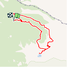

16.2 km | 31 km-effort


convivialite, sport et fiesta


FREE GPS app for hiking
 SityTrail
IGN / Geographical institutes
SityTrail World
The world is yours!
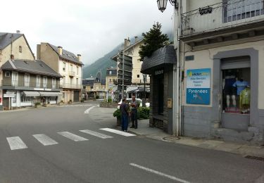
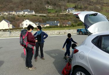
Trail Walking of 10.8 km to be discovered at Occitania, Hautespyrenees, Luz-Saint-Sauveur. This trail is proposed by Lous Passa camins.
à la sortie de Luz prendre la direction villenave les astes et suivre la piste carrossable jusqu'au bout. suivre la trace GPS ou les cairns qui ne sont pas suffisants a mon avis. belle balade assez difficile. avoir une bonne condition physique
Walking

Walking
Walking

On foot

Walking

Walking
On foot
On foot
Walking