


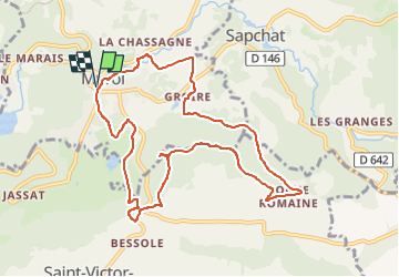

11.3 km | 16.7 km-effort

User GUIDE


FREE GPS app for hiking
 SityTrail
IGN / Geographical institutes
SityTrail World
The world is yours!
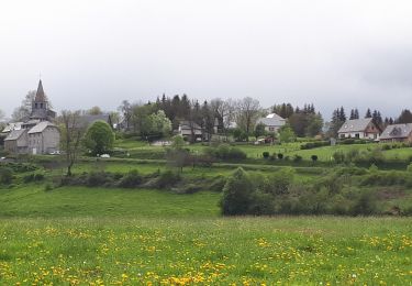
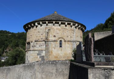
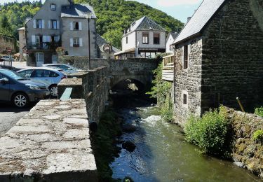
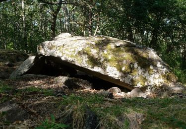
Trail Walking of 10.3 km to be discovered at Auvergne-Rhône-Alpes, Puy-de-Dôme, Murol. This trail is proposed by jagarnier.
Dans une nature sauvage, la forteresse de Murol domine la vallée de la Couze et le lac Chambon. Vous découvrirez la coulée de lave de la "Roche Romaine" sur le puy de Bessolles habitée à l’époque gallo-romaine (cases celtiques en pierres sèches).

Walking
Walking
Walking

Walking
On foot
On foot
On foot

On foot
On foot