


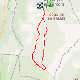


7.7 km | 13.8 km-effort


User


FREE GPS app for hiking
 SityTrail
IGN / Geographical institutes
SityTrail World
The world is yours!
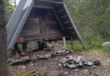
Trail Snowshoes of 12.7 km to be discovered at Auvergne-Rhône-Alpes, Isère, Corrençon-en-Vercors. This trail is proposed by ajpbm.
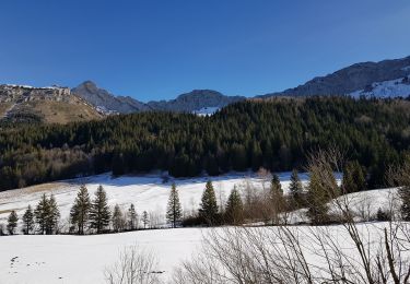
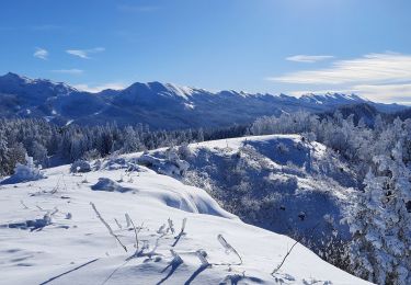
belle rando pas trop de foret


Walking
Walking

Mountain bike

Walking

Walking

Mountain bike
Walking
Walking
Walking