


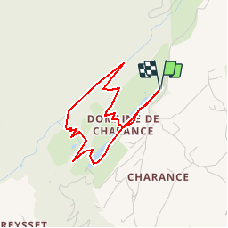


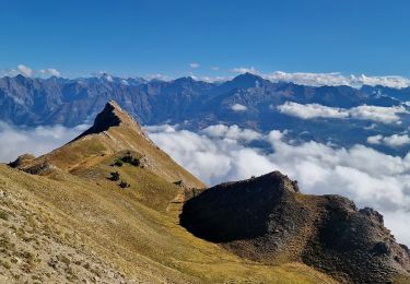
8.6 km | 18.5 km-effort

Les Hautes Alpes à découvrir ! GUIDE+


FREE GPS app for hiking
 SityTrail
IGN / Geographical institutes
SityTrail World
The world is yours!
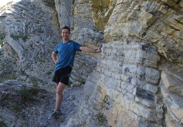
Trail Walking of 3.6 km to be discovered at Provence-Alpes-Côte d'Azur, Hautes-Alpes, Gap. This trail is proposed by Camping Les Rives du Lac.
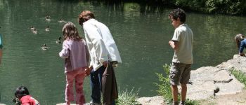
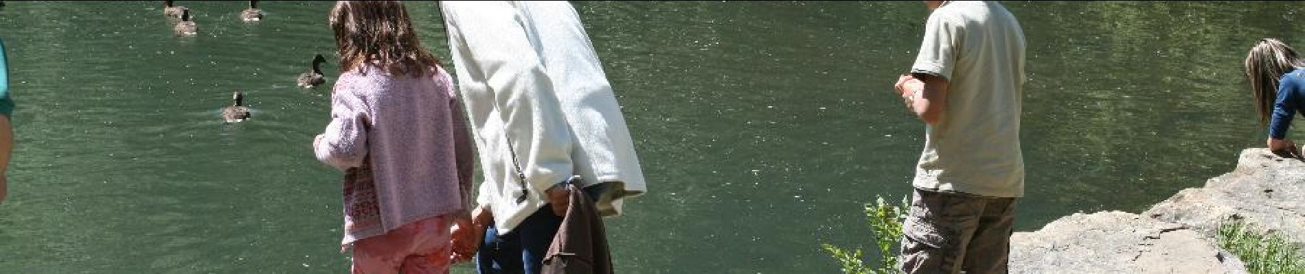
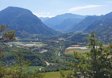
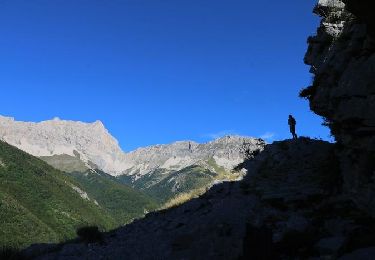
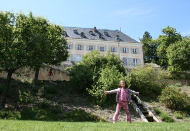
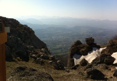
Short hike in the Charance Park (with educational trail). Beautiful view of the gapençais basin from the gardens of the castle (magnificent collection of 600 old roses and fruit trees). A playground for children is even available


Walking
Walking
On foot
Walking
Walking
Walking
Walking
Walking
Walking