


1.4 km | 2.7 km-effort


User


FREE GPS app for hiking
 SityTrail
IGN / Geographical institutes
SityTrail World
The world is yours!
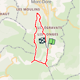
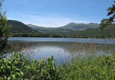
Trail Walking of 13.9 km to be discovered at Auvergne-Rhône-Alpes, Puy-de-Dôme, Mont-Dore. This trail is proposed by Bobol.
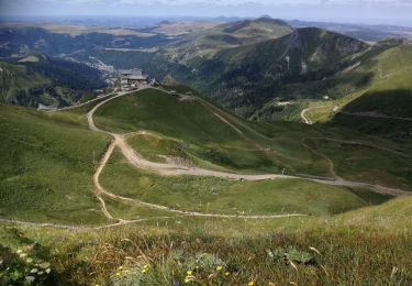
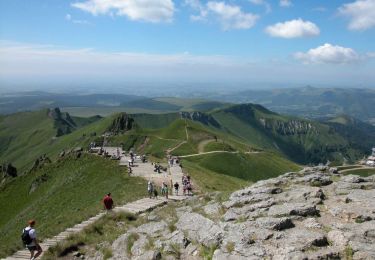
Descente du Puy de Sancy après être monté par le téléphérique.
Walking

Walking
Walking
Walking

Walking

Walking
On foot

On foot
On foot
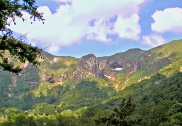
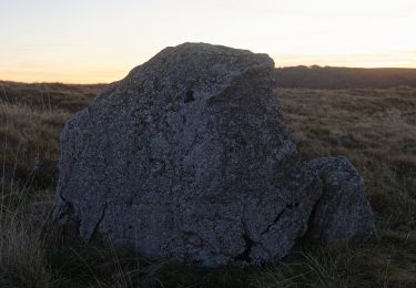
superbe