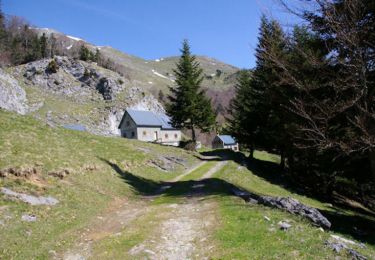
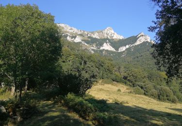
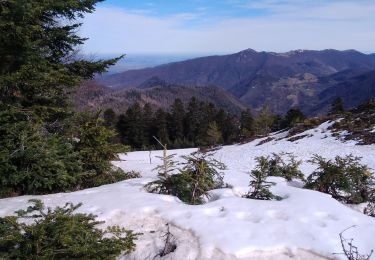
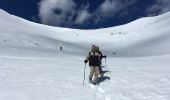
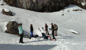
Trail Snowshoes Boutx - RQ-Pique-Poque - Photo
 Polo-31
Polo-31

User

© OpenStreetMap contributors
Length
Length
10.5 km
Max alt
Max alt
1883 m
Uphill gradient
Uphill gradient
664 m
Km-Effort
Km-Effort  
19.3 km
Min alt
Min alt
1295 m
Downhill gradient
Downhill gradient
665 m
Boucle
Boucle
Yes
Creation date :
2018-04-17 20:47:51.324
Updated on :
2018-04-17 20:47:51.324

(0 Reviews)

Snowshoes
Snowshoes
4h00
Difficulty : Medium

Scan this QR Code to open this trail in the SityTrail application

FREE GPS app for hiking

Logo SityTrail SityTrail

IGN / Geographical institutes

Download SityTrail from the App Store Download SityTrail from Google Play

Logo SityTrail SityTrail World

The world is yours!

Download SityTrail from the App Store Download SityTrail from Google Play Download SityTrail on Huawei AppGallery

About

Trail Snowshoes of 10.5 km to be discovered at Occitania, Haute-Garonne, Boutx. This trail is proposed by Polo-31.

Description

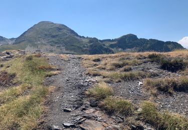
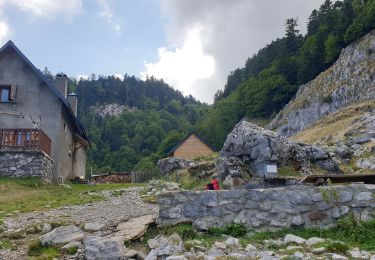
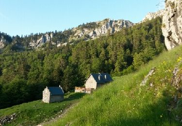
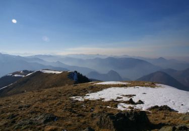
Depuis le Col de Menté, rejoindre la cabane de Larreix (Facile), poursuivre vers le Col du Pas de L'Âne (Beaucoup plus raide) et prendre à droite la Crête jusqu'à Pique-Poque (Crampons conseillés si neige dure). Le retour est effectué en boucle en descendant vers le col direction Cagire. Prévoir 45' de plus pour 1 A/R au Cagire. Descendre plein sud vers le col de Coume Ossan puis effectuer une traversée sous pique-poque plus ou moins haute en fonction des conditions d'enneigement en direction de la Cabane de Larreix. Retour facile par le chemin de l'aller.

Elevation profile

Photos

Points of interest

Point of interest Juzet-d'Izaut - Descente de Pique-Poque - Photo
Polo-31
Point of interest Sengouagnet - Sous Pique-Poque - Photo
Polo-31
SENGOUAGNET 
Point of interest Sengouagnet - Vers Col Coume - Photo
Polo-31
SENGOUAGNET 
Point of interest Sengouagnet - Cabane Larreix - Photo
Polo-31
SENGOUAGNET 

Positioning

Country:
France
Region :
Occitania
Department/Province :
Haute-Garonne
Municipality :
Boutx
Location:
Unknown
Start:(UTM)
317307 ; 4754249 (31T) N.

Trails nearby

Trail Walking Boutx - Cagire - Photo
Walking
GUIDE
lhomme.ph

Walking

Medium
(1)
Boutx, Occitania, Haute-Garonne, France
12.1 km | 23 km-effort
4h 41min
Yes
Trail Walking Fos - 2022 TRANSPYRÉNÉEN 2 - FOS - le REFUGE de l’étang d’ARAING - Photo
Walking
LEGUE

Walking

Very difficult
Fos, Occitania, Haute-Garonne, France
17.5 km | 36 km-effort
5h 31min
No
Trail Walking Sengouagnet - LARREIX à CAGIRE - Rando avec Léo 5ans - Photo
Walking
jopost

Walking

Difficult
Sengouagnet, Occitania, Haute-Garonne, France
5 km | 11.2 km-effort
3h 52min
Yes
Trail Walking Boutx - col de Mente-Larreix-Cagire-Escalette-retour - Photo
Walking
jopost

Walking

Difficult
(1)
Boutx, Occitania, Haute-Garonne, France
11.7 km | 22 km-effort
6h 13min
Yes
Trail Walking Boutx - Tuc de l'Etang et Pic d'Escales - Photo
Walking
tracegps

Walking

Difficult
Boutx, Occitania, Haute-Garonne, France
5.8 km | 11.3 km-effort
2h 55min
Yes
Trail Walking Boutx - Pic de Cagire - Photo
Walking
tracegps

Walking

Very difficult
Boutx, Occitania, Haute-Garonne, France
10.5 km | 19.9 km-effort
5h 10min
Yes
Trail Walking Boutx - pic de Cagire en boucle depuis le col de Menté  - Photo
Walking
GUIDE
lhomme.ph

Walking

Difficult
Boutx, Occitania, Haute-Garonne, France
12 km | 23 km-effort
6h 46min
Yes
Trail Walking Boutx - SityTrail - GR86new - Photo
Walking
zazibelle

Walking

Very difficult
Boutx, Occitania, Haute-Garonne, France
9.1 km | 16.4 km-effort
70h 32min
No
Trail Snowshoes Boutx - 2021-02-16  raquettes le mourtis - Photo
Snowshoes
jacq58

Snowshoes

Easy
Boutx, Occitania, Haute-Garonne, France
3.5 km | 7.9 km-effort
10min
Yes


Close
My subscriptions