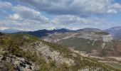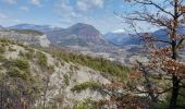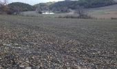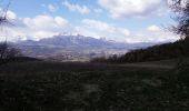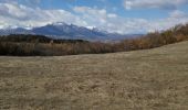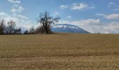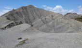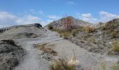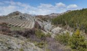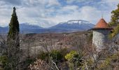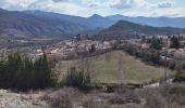

Circuit les Marinons à Tallard.(25-03-18).

Dervalmarc
User

Length
8.8 km

Max alt
900 m

Uphill gradient
421 m

Km-Effort
13.6 km

Min alt
602 m

Downhill gradient
169 m
Boucle
No
Creation date :
2018-04-17 22:51:28.826
Updated on :
2018-04-17 22:51:28.826
2h59
Difficulty : Easy

FREE GPS app for hiking
About
Trail Walking of 8.8 km to be discovered at Provence-Alpes-Côte d'Azur, Hautes-Alpes, Tallard. This trail is proposed by Dervalmarc.
Description
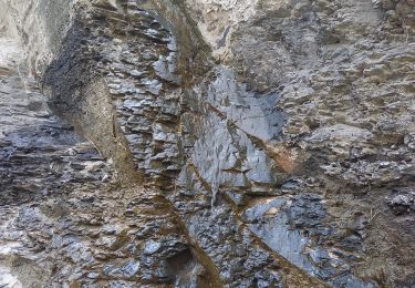
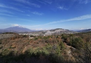
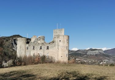
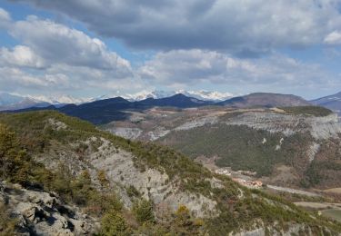
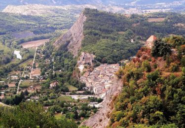
Très belle boucle dans les collines au dessus de Tallard.
Paysage original dans les marnes.
Belle variété de milieu.
A la descente un beau pont romain.
Positioning
Country:
France
Region :
Provence-Alpes-Côte d'Azur
Department/Province :
Hautes-Alpes
Municipality :
Tallard
Location:
Unknown
Start:(Dec)
Start:(UTM)
265844 ; 4927520 (32T) N.
Comments
Trails nearby
CHATEAUVIEUX . BOIS DE CHRISTAYES LES MARINONS O S


Walking
Medium
Châteauvieux,
Provence-Alpes-Côte d'Azur,
Hautes-Alpes,
France

10.4 km | 14.8 km-effort
3h 7min
Yes
Tallard - les Marinons 17.6.23


Walking
Easy
Tallard,
Provence-Alpes-Côte d'Azur,
Hautes-Alpes,
France

10.2 km | 15.4 km-effort
3h 15min
Yes
Boucle Tallard - Venterol


Walking
Medium
Tallard,
Provence-Alpes-Côte d'Azur,
Hautes-Alpes,
France

8.7 km | 14.9 km-effort
4h 47min
Yes
Tour le long de la Durance et sur les crètes du château


Walking
Medium
(1)
Tallard,
Provence-Alpes-Côte d'Azur,
Hautes-Alpes,
France

6.2 km | 8.2 km-effort
2h 26min
Yes
Circuit les Marinons à Tallard.(25-03-18).


Walking
Easy
Tallard,
Provence-Alpes-Côte d'Azur,
Hautes-Alpes,
France

10.6 km | 16.3 km-effort
2h 59min
Yes
Rome-37-Tallard-Gap-20170906


Walking
Difficult
Tallard,
Provence-Alpes-Côte d'Azur,
Hautes-Alpes,
France

16.3 km | 23 km-effort
4h 37min
No
Circuit des Hautes Terres VENTEROL


Walking
Easy
Venterol,
Provence-Alpes-Côte d'Azur,
Alpes-de-Haute-Provence,
France

9.2 km | 15.5 km-effort
3h 51min
Yes
venterol le mont seigneur


Walking
Very easy
Venterol,
Provence-Alpes-Côte d'Azur,
Alpes-de-Haute-Provence,
France

18.9 km | 29 km-effort
6h 42min
Yes
venterol le mont seigneur


Walking
Very easy
Venterol,
Provence-Alpes-Côte d'Azur,
Alpes-de-Haute-Provence,
France

18.9 km | 29 km-effort
6h 42min
Yes


 SityTrail


